Embark on an unforgettable journey with our guide to the best day hikes in Brisbane. From the heart of the city to the outskirts, Brisbane offers a plethora of trails that cater to all levels of hiking enthusiasts. Traverse the ancient forests of Springbrook National Park, conquer the rugged terrain of Mount Barney, or enjoy the serene views from Mount Edwards. Whether you’re a seasoned hiker or a beginner looking for a new adventure, Brisbane’s diverse landscapes and breathtaking views are sure to captivate you. So, lace up your hiking boots, pack your essentials, and get ready to explore the natural beauty of Brisbane one trail at a time.
Best Day Hikes Brisbane at a Glance
Our list of best day hikes in Brisbane goes like this:
- The best hike for panoramic views: Glasshouse Mountains, Mount Ngungun
- The best hike for diverse landscapes: Springbrook National Park
- The most challenging hike: Mount Barney
- The best hike for a refreshing swim at the end: Mount Edwards
- The best hike for a quick escape from the city: Mount Coot-Tha
- The best hike for a serene coastal walk: Wellington Point to King Island Walk
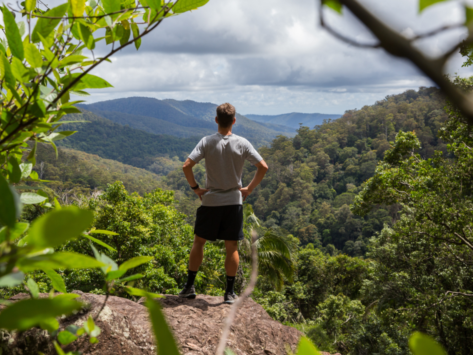
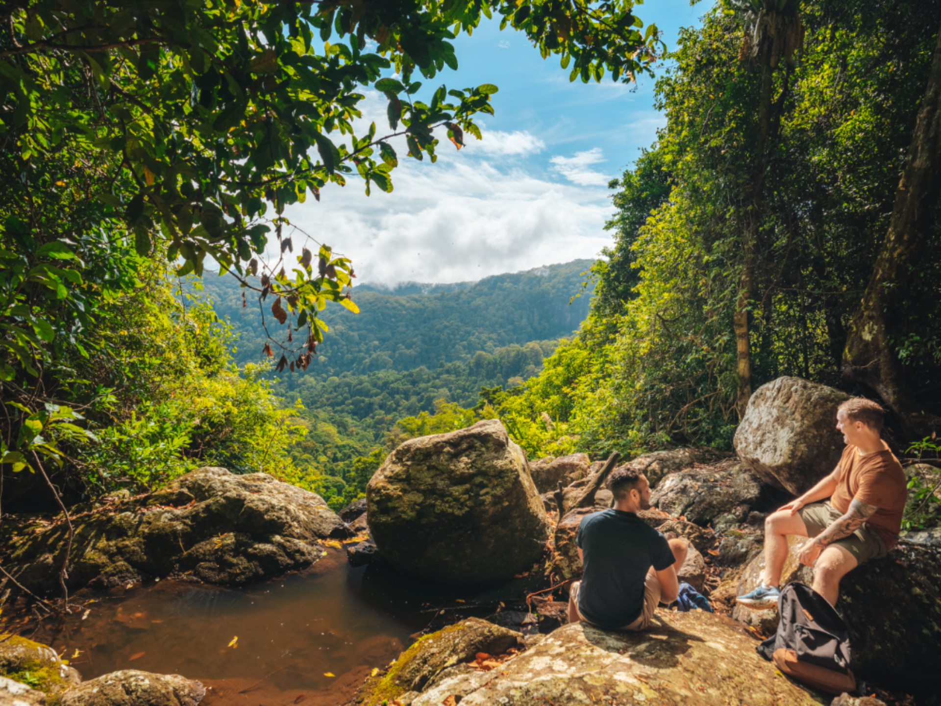
1. Lamington National Park
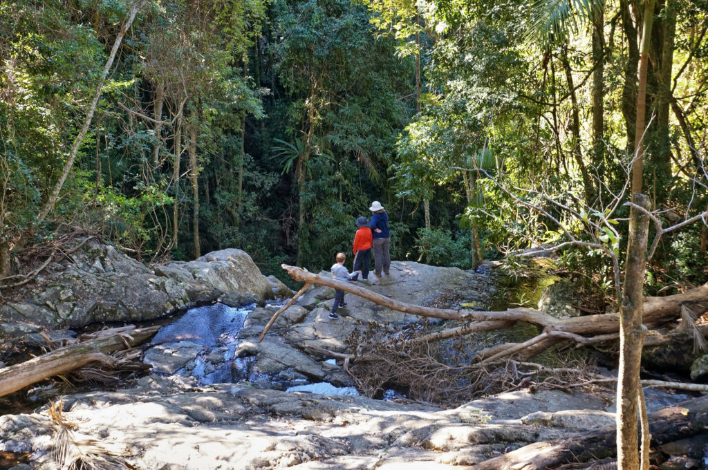
Lamington National Park, a World Heritage-listed site, is a hiker’s paradise. It’s a place where ancient trees reach for the sky, and waterfalls cascade into cool, clear pools. The park is home to over 160 km of walking tracks, each one revealing a world of lush rainforests, rare wildlife, and panoramic views.
Source: Tourism and Events Queensland

Source: Tourism and Events Queensland

Source: Tourism and Events Queensland
The Morans Falls Track is a popular choice, offering sweeping vistas from the top of the falls. The trail winds through a variety of landscapes, from dense rainforest to open eucalypt forest, before reaching the falls. Here, you can take in the breathtaking view of Morans Falls and the valley below.

Source: Tourism and Events Queensland

Source: Tourism and Events Queensland

Source: Tourism and Events Queensland
For a more challenging hike, the Border Track takes you along the New South Wales and Queensland border, offering stunning views of the McPherson Range. This track is a must for any serious hiker, but be prepared for a long day out.
- Difficulty Rating: Moderate to Hard
- Start Location: Green Mountains section
- End Location: Green Mountains section
- Route Distance: Varies depending on the trail
- Time to Complete: 3-7 hours
- Facilities: Toilets, picnic areas, and parking available at the Green Mountains section
- Distance and Travel Time from CBD: Approximately 110 km, 2 hours by car
- Google Map Link: https://maps.app.goo.gl/KKQJEDwX2PogATmH7
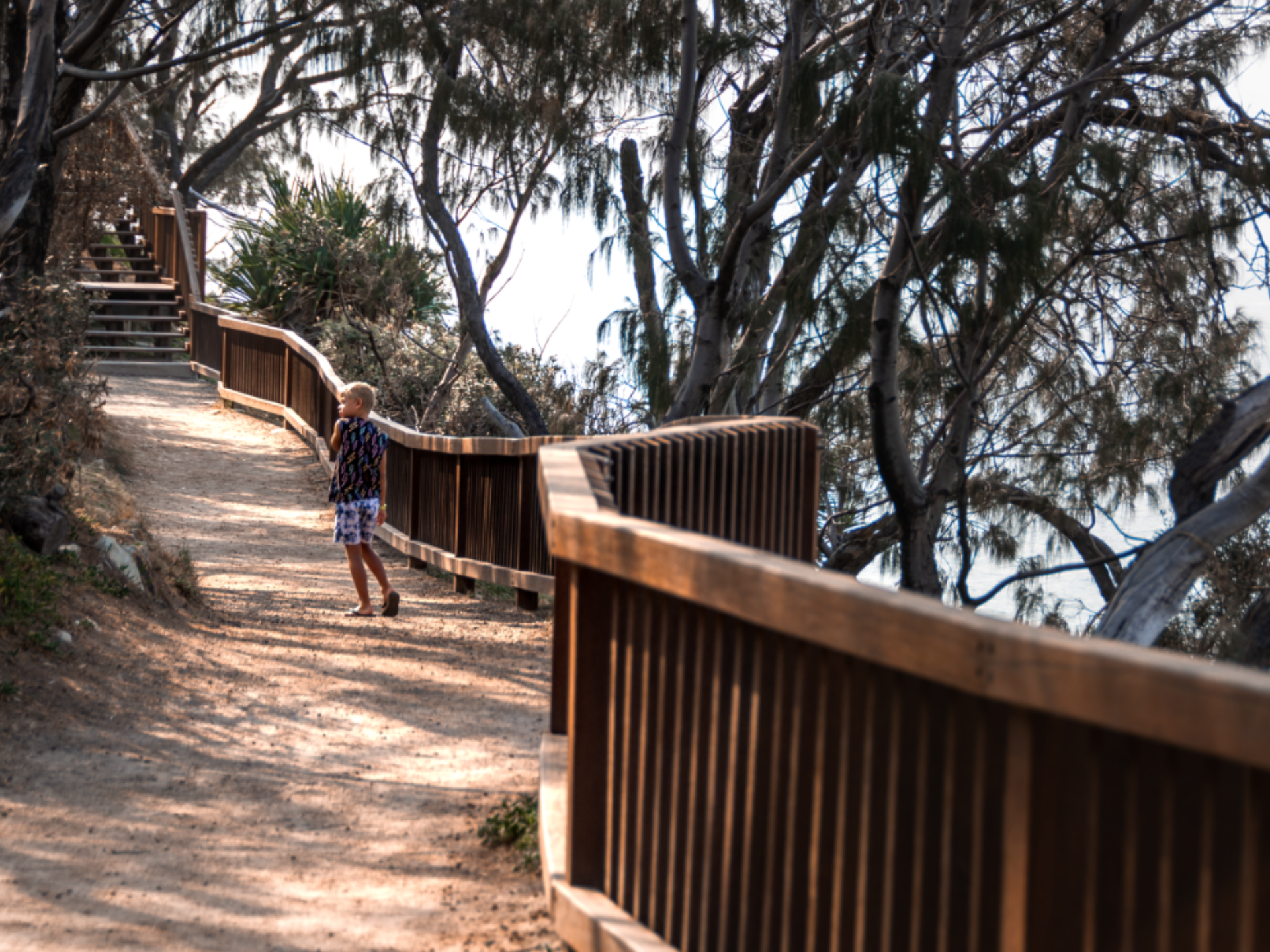
2. North Gorge Walk, Stradbroke Island
Stradbroke Island, or “Straddie” as it’s affectionately known, is a paradise of stunning beaches, crystal clear waters, and diverse wildlife. The North Gorge Walk is a must-do when visiting the island. This 1.2 km boardwalk takes you along the island’s rugged coastline, offering breathtaking views of the Pacific Ocean.

Source: Tourism and Events Queensland
Source: Tourism and Events Queensland

Source: Tourism and Events Queensland
The walk is relatively easy, with plenty of spots to stop and take in the view. Keep an eye out for dolphins, turtles, and manta rays in the water below, and if you’re lucky, you might even spot a humpback whale during migration season.
After your walk, why not take a dip in the gorge’s natural rock pool or relax on one of the island’s beautiful beaches?
- Difficulty Rating: Easy
- Start Location: Point Lookout
- End Location: Point Lookout
- Route Distance: Approximately 1.2 km
- Time to Complete: 30-45 minutes
- Facilities: Toilets, picnic areas, and parking available at Point Lookout
- Distance and Travel Time from CBD: Approximately 30 km, 45 minutes by car plus a ferry ride
- Google Map Link: https://maps.app.goo.gl/VCN2kb2NRVrUvvFZ7
3. Mount Coot-tha
Mount Coot-Tha, located just a short drive from Brisbane’s CBD, is a popular spot for locals and tourists alike. The Summit Track, leading from JC Slaughter Falls to the Mount Coot-Tha Summit, is a popular trail offering panoramic views of Brisbane.

Source: Tourism and Events Queensland

Source: Tourism and Events Queensland

Source: Tourism and Events Queensland
The trail is well marked and includes some steep sections. Once at the top, you can enjoy the view from the lookout, visit the Brisbane Botanic Gardens, or grab a bite to eat at the café.
For a different perspective, why not try the hike at sunrise or sunset? The view of the city bathed in golden light is truly spectacular.
- Difficulty Rating: Moderate
- Start Location: JC Slaughter Falls car park
- End Location: Mount Coot-Tha Summit
- Route Distance: Approximately 2 km
- Time to Complete: 1-2 hours
- Facilities: Toilets, picnic areas, and parking available at JC Slaughter Falls car park and Mount Coot-Tha Summit
- Distance and Travel Time from CBD: Approximately 7 km, 15 minutes by car
- Google Map Link: https://maps.app.goo.gl/LRu2xTLC9As7oGDa6
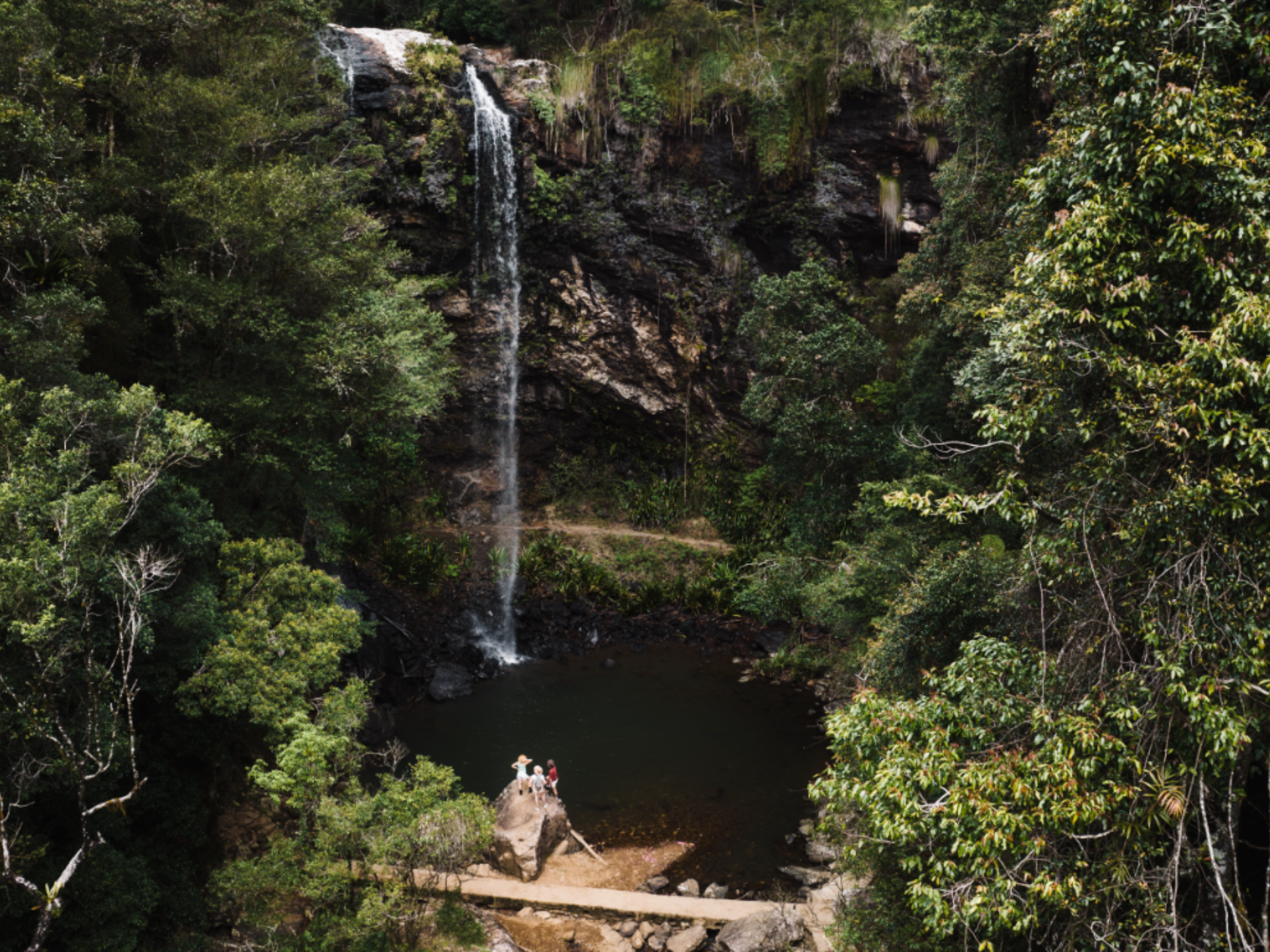
4. Springbrook National Park
Springbrook National Park, a World Heritage-listed treasure, is a sanctuary of ancient forests, stunning waterfalls, and breathtaking views. The park’s diverse walking tracks lead adventurers through a magical world where the air is filled with the mist of waterfalls and the calls of rare birds.
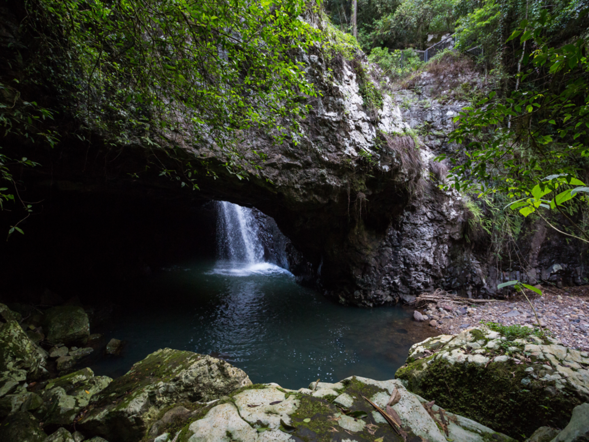
One of the most enchanting trails is the Twin Falls Circuit, which takes you behind two cascading waterfalls and offers views of the lush rainforest canopy. The path is well-maintained, with some steep sections, and is a feast for the senses with its cool, moist air and the scent of the forest.
Source: Tourism and Events Queensland

Source: Tourism and Events Queensland
Source: Tourism and Events Queensland
For those seeking a glimpse into the remnants of an ancient volcano, the Best of All Lookout provides awe-inspiring views of the Tweed Valley and Mount Warning. This short walk is an easy addition to any hiking itinerary and is not to be missed.
- Difficulty Rating: Easy to Moderate
- Start Location: Various depending on the trail
- End Location: Various depending on the trail
- Route Distance: Varies depending on the trail
- Time to Complete: 30 minutes to 4 hours
- Facilities: Toilets, picnic areas, and parking available at various locations
- Distance and Travel Time from CBD: Approximately 100 km, 1.5 hours by car
- Google Map Link: https://maps.app.goo.gl/2p23Z98KHfdhWkJo8
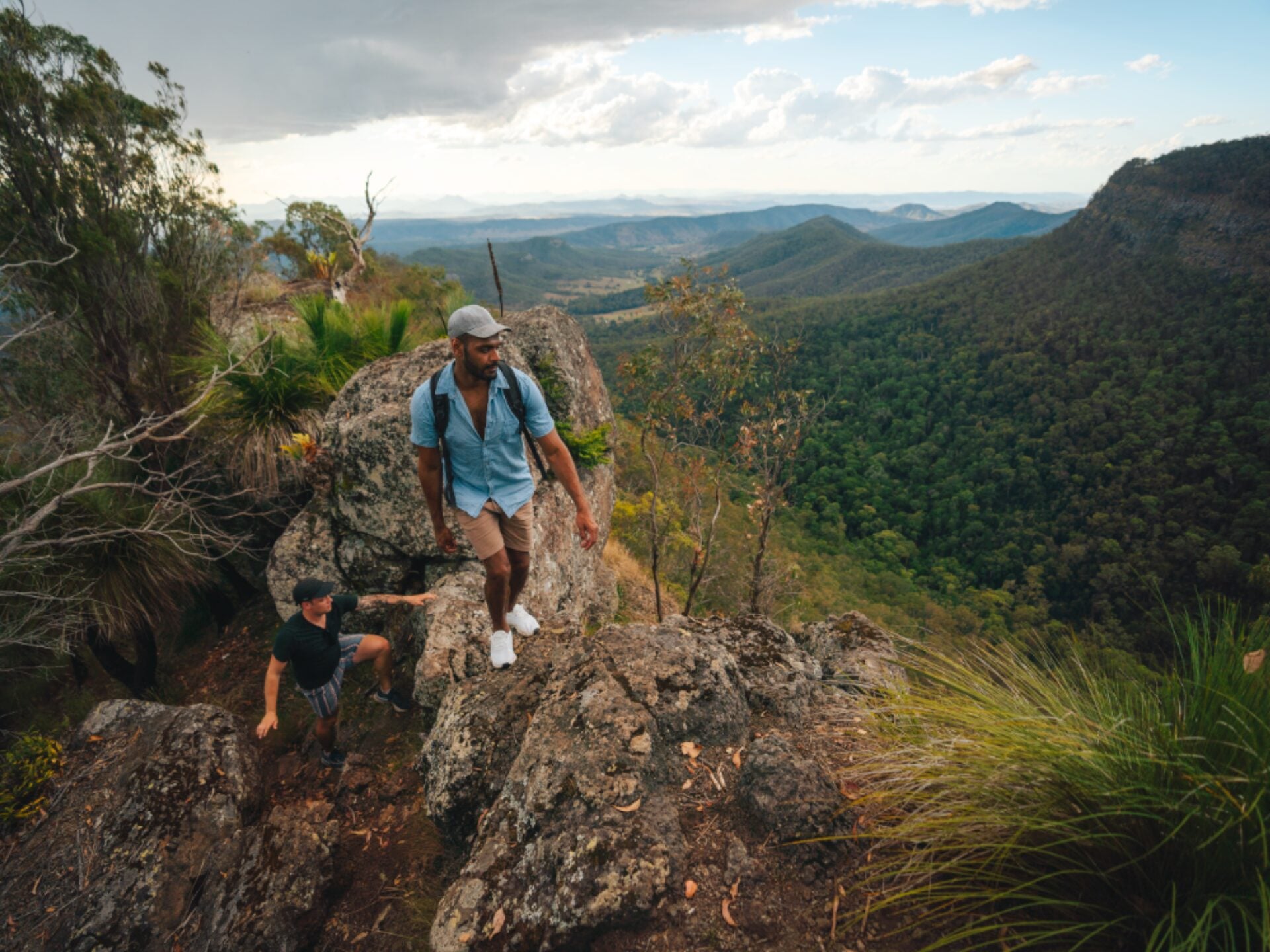
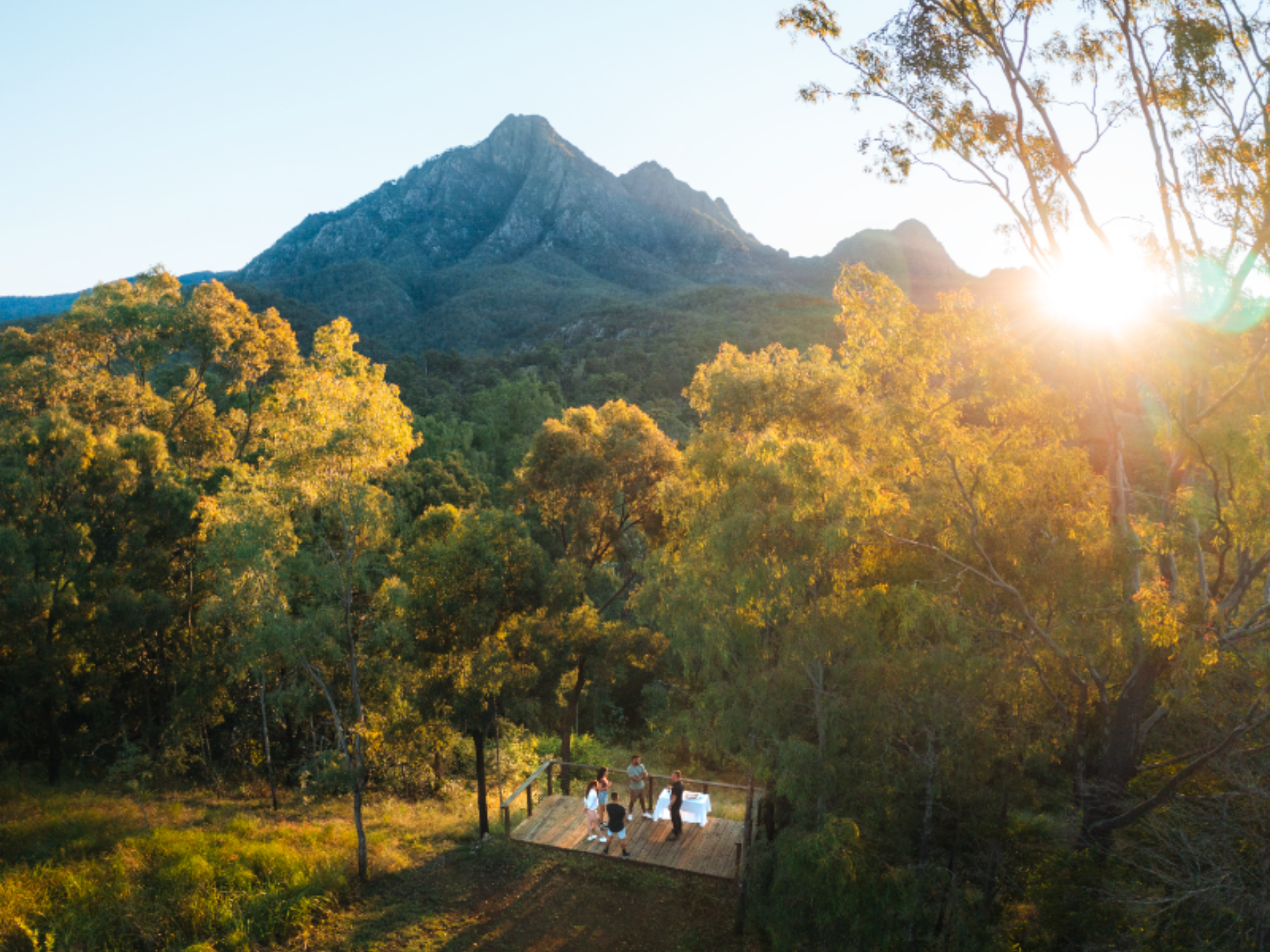
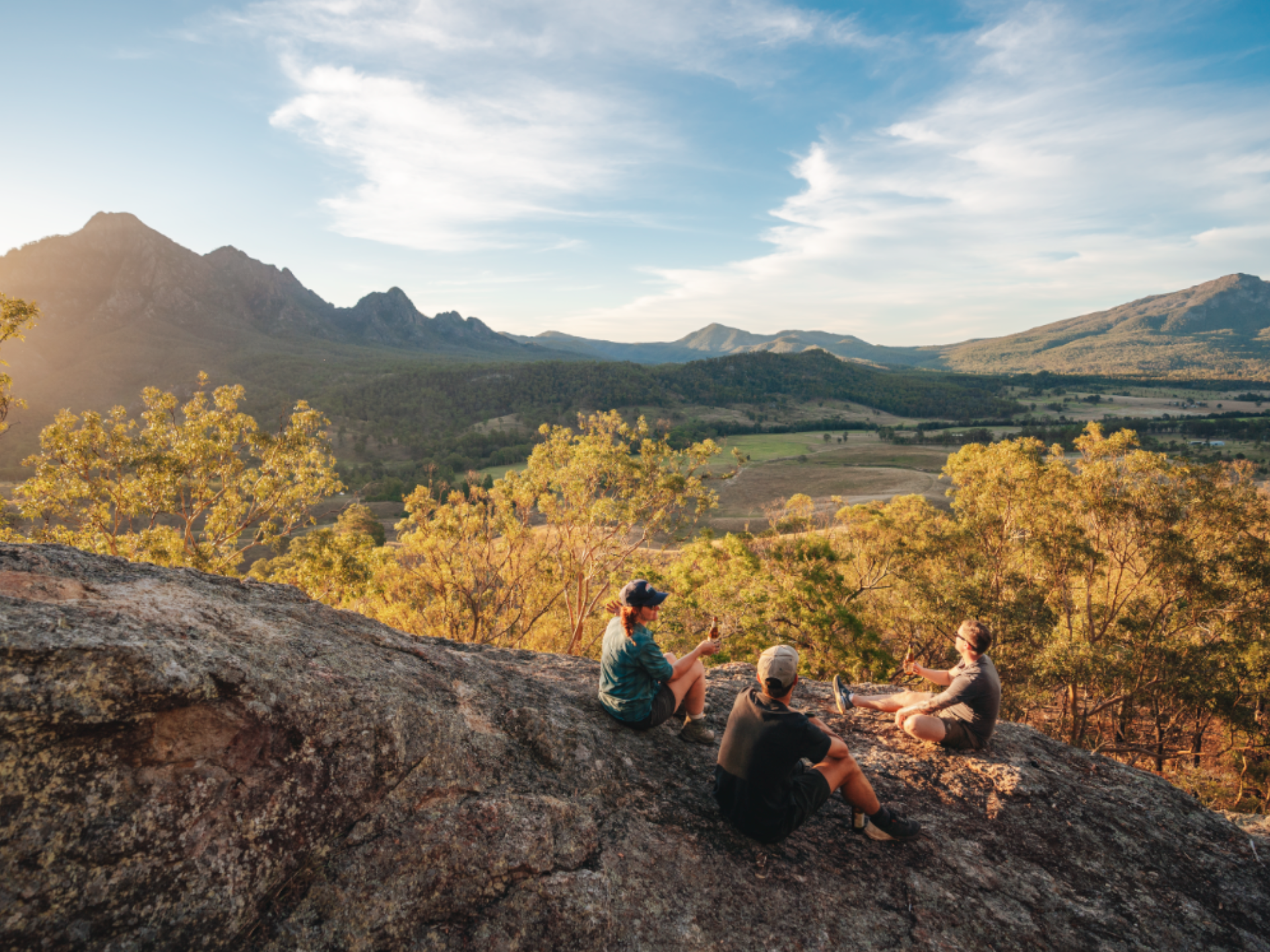
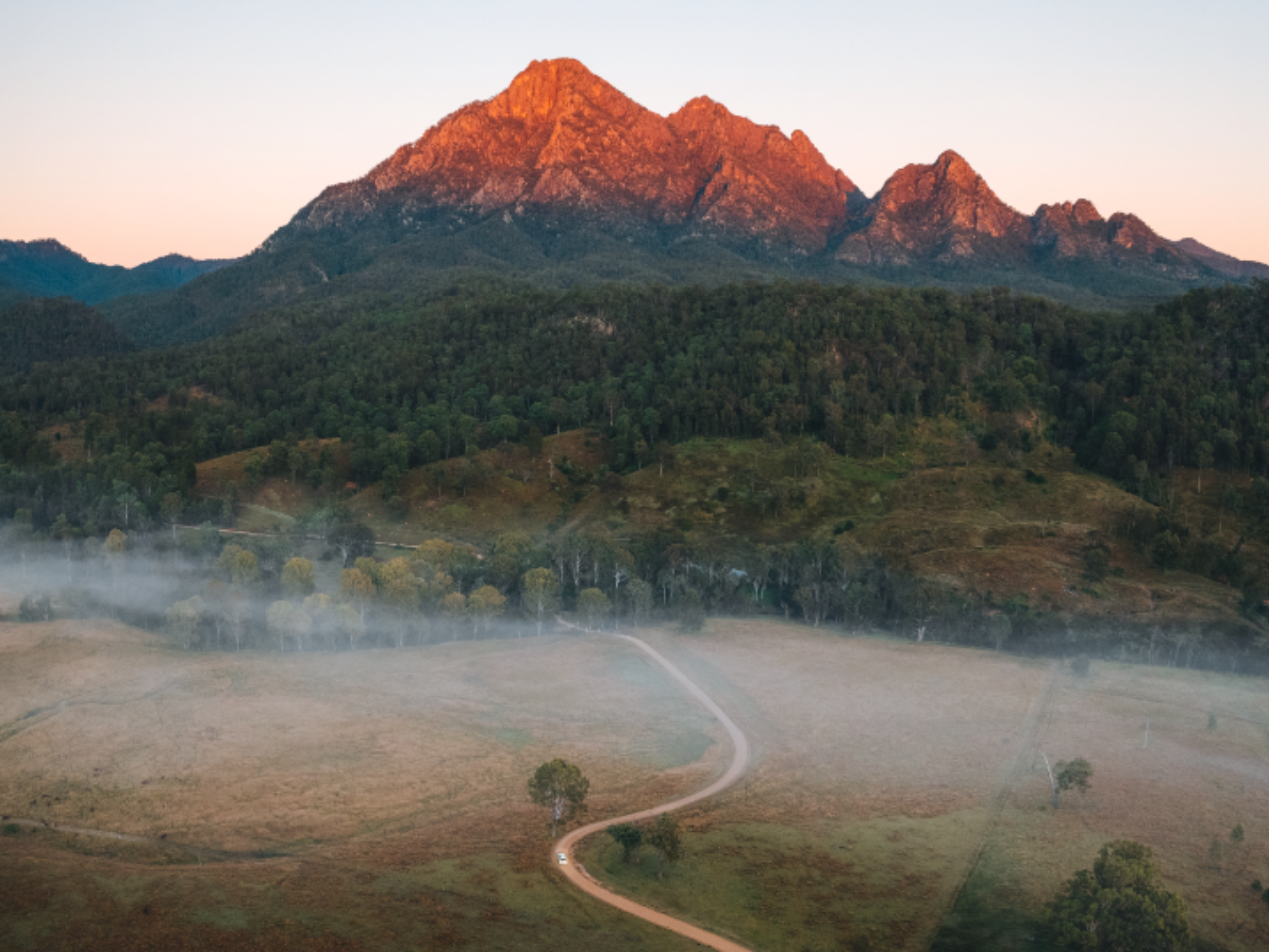
5. Mount Barney
Mount Barney is an adventurer’s challenge, rising majestically in the Scenic Rim region. Known for its rugged terrain and spectacular views, it is one of the most impressive mountains in Queensland and a favorite among experienced hikers.
Source: Tourism and Events Queensland
Source: Tourism and Events Queensland
Source: Tourism and Events Queensland
The ascent to Mount Barney’s summit is a serious undertaking, with steep, rocky paths and a need for good navigation skills. The reward for this strenuous climb is the panoramic vista from the top, where the world seems to stretch out endlessly before you.
Due to the mountain’s remote location and the difficulty of the trails, it’s essential to be well-prepared with adequate supplies, a map, and preferably a hiking companion. This hike is a true test of endurance and will leave you with a sense of accomplishment like no other.
- Difficulty Rating: Hard
- Start Location: Lower Portals or Yellow Pinch Reserve
- End Location: Lower Portals or Yellow Pinch Reserve
- Route Distance: Varies depending on the trail
- Time to Complete: Full day
- Facilities: Limited facilities; be prepared to be self-sufficient
- Distance and Travel Time from CBD: Approximately 130 km, 2 hours by car
- Google Map Link: https://maps.app.goo.gl/9EpZXupv7DcXrm3g8
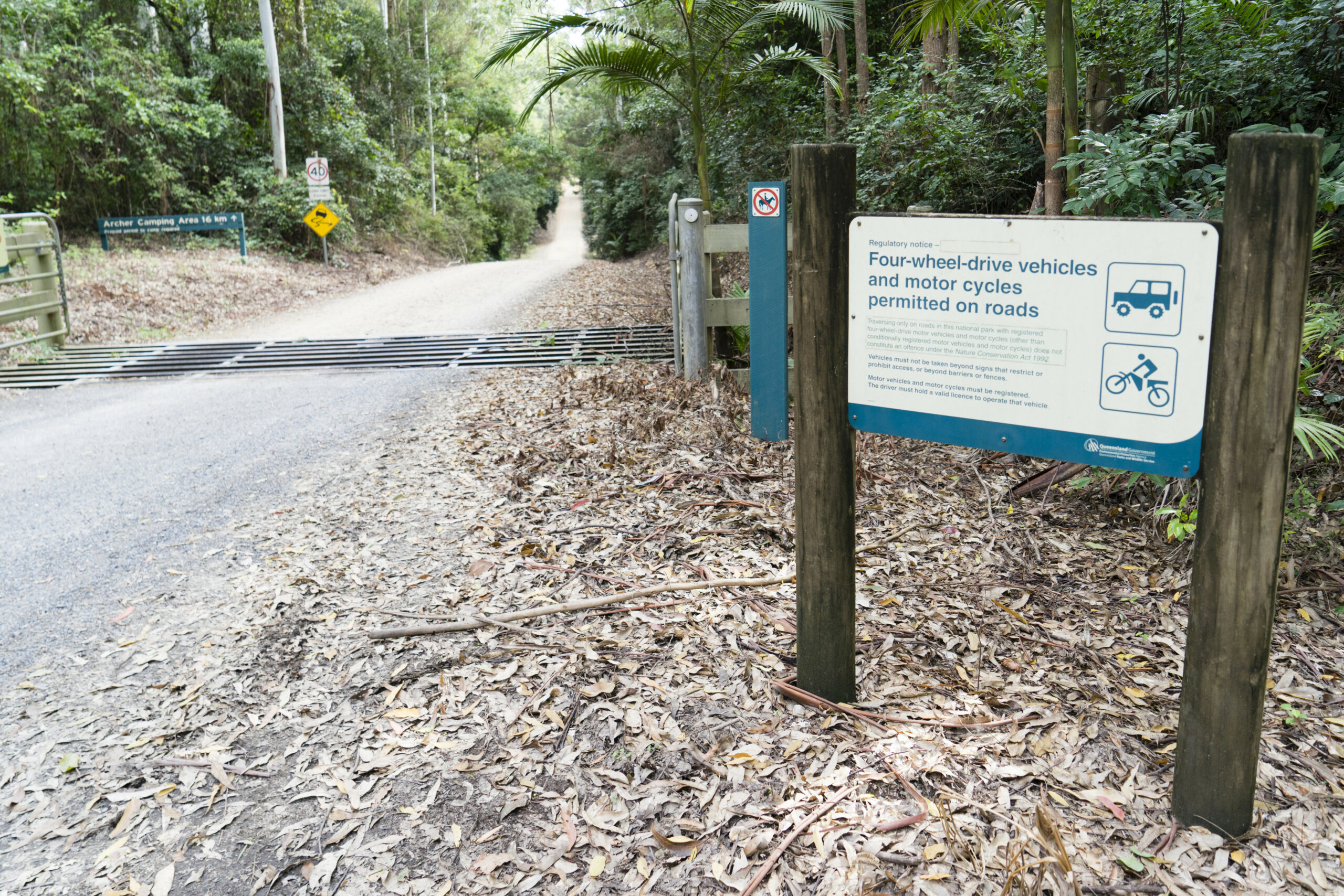
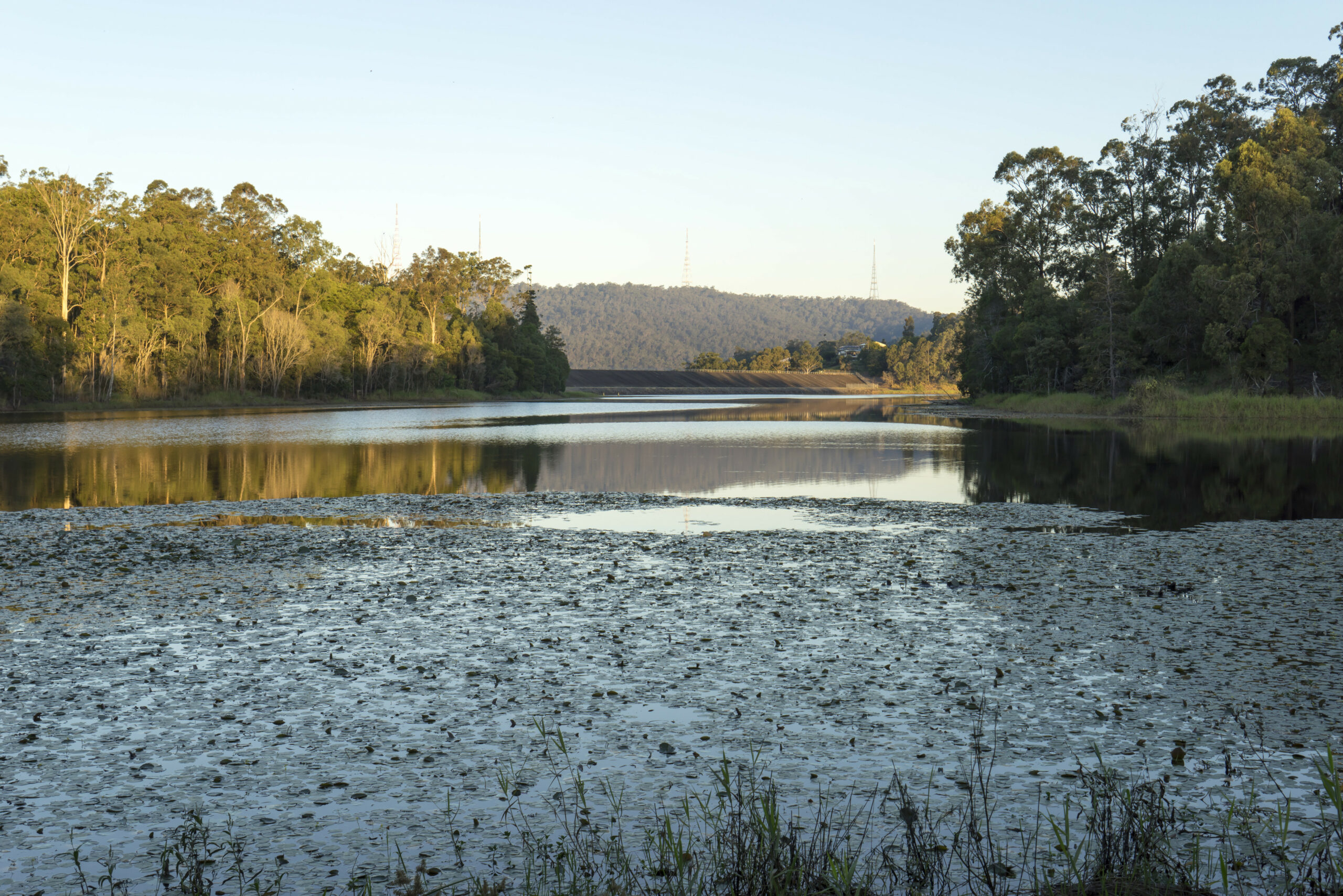
6. D’Aguilar National Park
D’Aguilar National Park, located on the outskirts of Brisbane, is a vast, rugged bushland reserve that offers a variety of hiking trails. The park is home to eucalyptus woodland, rainforest gorges, and a diverse range of wildlife.

Source: Matthew Taylor/Tourism and Events Queensland
Source: Matthew Taylor/Tourism and Events Queensland
Source: Matthew Taylor/Tourism and Events Queensland
One of the most popular trails in the park is the Mount Nebo Lookout. This easy walk takes you to a lookout point with stunning views of the Samford Valley and Moreton Bay. The trail is well marked and suitable for most fitness levels.
For a more challenging hike, the Morelia walking track takes you to Mount Nebo’s highest point, offering panoramic views of the surrounding area.
- Difficulty Rating: Easy to Moderate
- Start Location: Various depending on the trail
- End Location: Various depending on the trail
- Route Distance: Varies depending on the trail
- Time to Complete: 1-4 hours
- Facilities: Toilets, picnic areas, and parking available at various locations
- Distance and Travel Time from CBD: Approximately 35 km, 45 minutes by car
- Google Map Link: https://maps.app.goo.gl/8qtoTPncm4xXg4ZF9
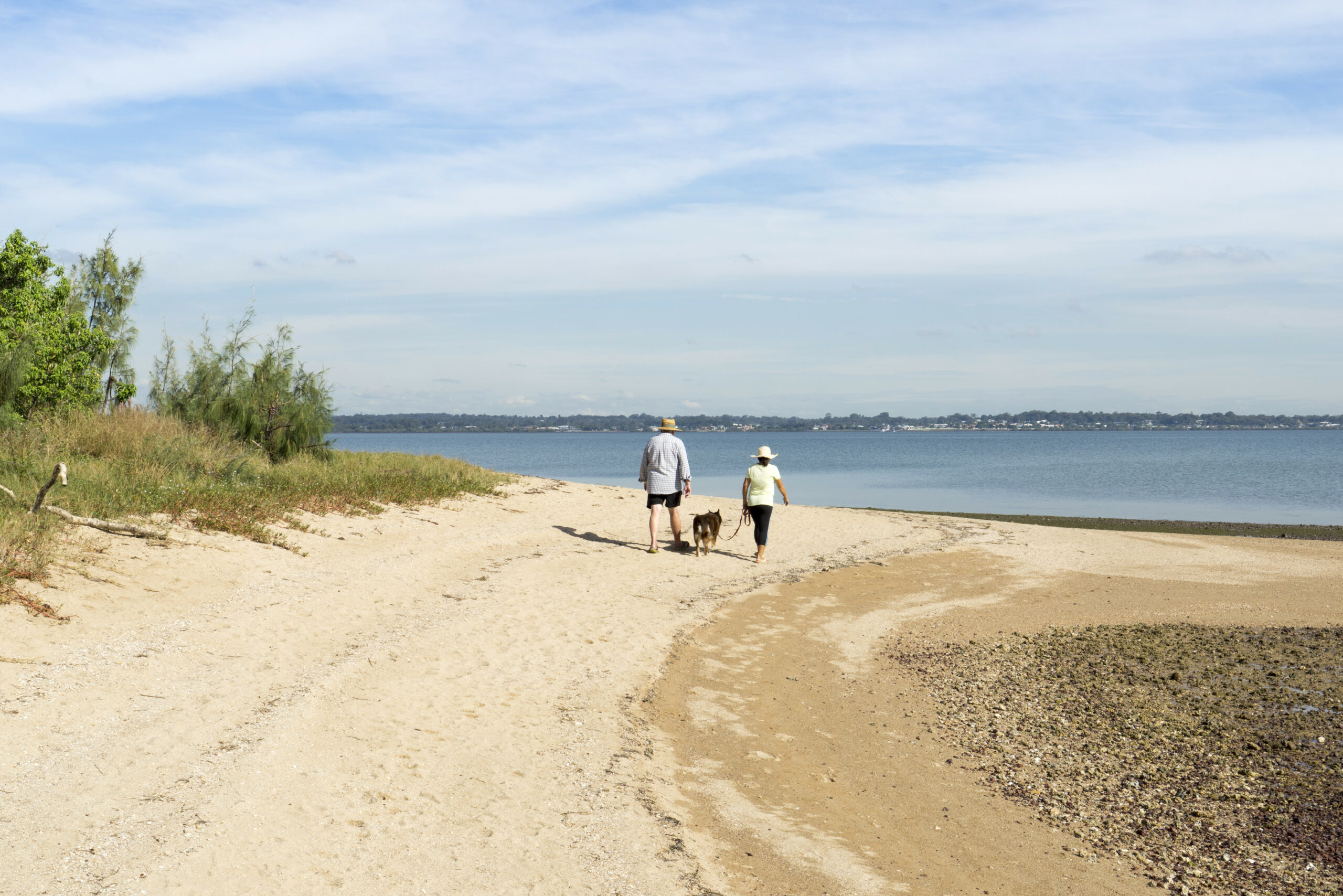
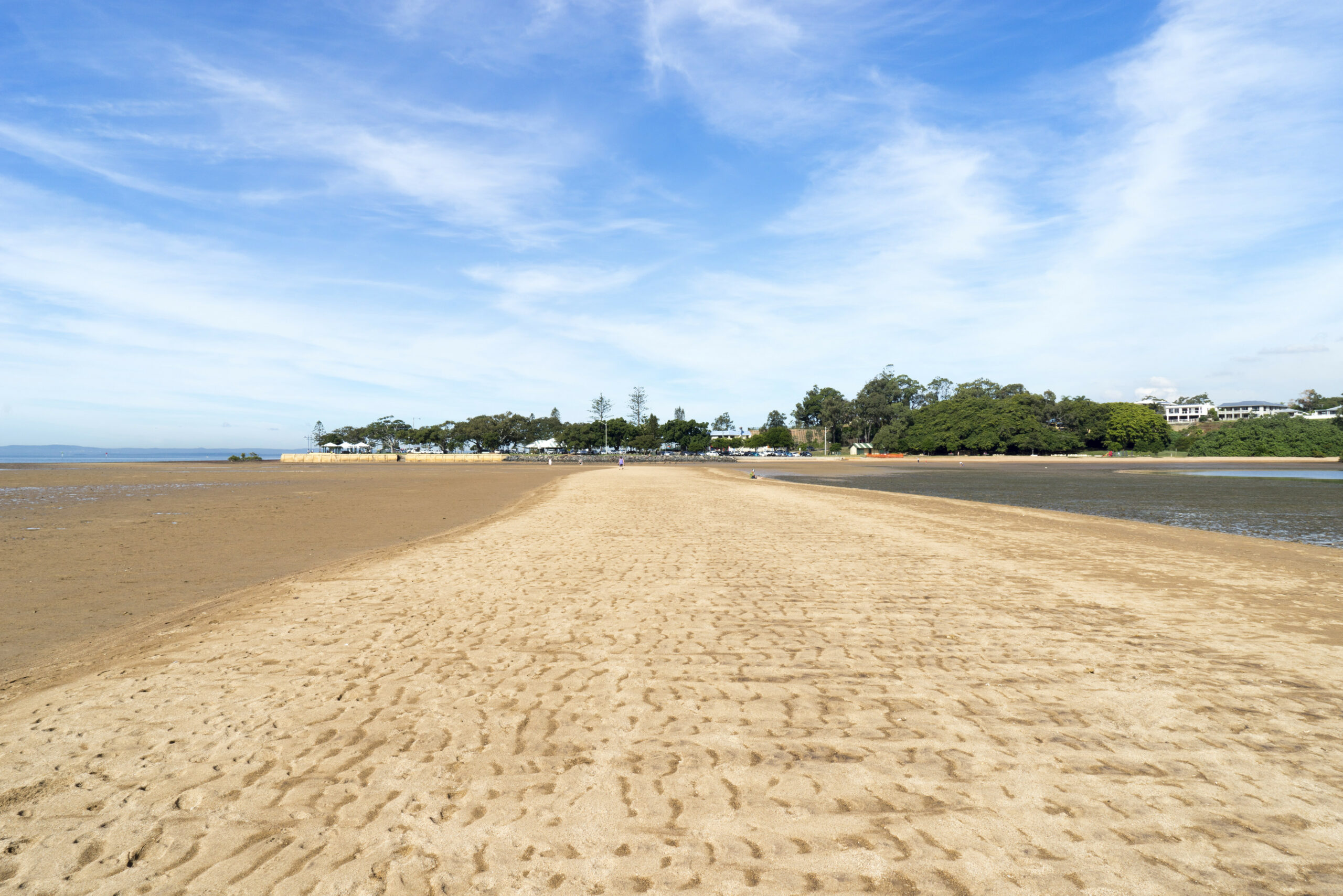
7. Wellington Point to King Island Walk
The Wellington Point to King Island Walk is a unique coastal adventure. This walk is all about timing, as it can only be done at low tide when a natural sand bridge appears, allowing you to walk across the water to King Island.
Source: Matthew Taylor/Tourism & Events Queensland
Source: Matthew Taylor/Tourism & Events Queensland
Source: Matthew Taylor/Tourism & Events Queensland
The walk offers stunning views of Moreton Bay and is a great spot for bird watching. Once on King Island, you can explore the mangroves, spot wildlife, and enjoy the tranquillity of this secluded spot.
Remember to check the tide times before you go, and always leave enough time to return before the tide comes in.
- Difficulty Rating: Easy
- Start Location: Wellington Point Reserve
- End Location: Wellington Point Reserve
- Route Distance: Approximately 2 km
- Time to Complete: 30-60 minutes
- Facilities: Toilets, picnic areas, and parking available at Wellington Point Reserve
- Distance and Travel Time from CBD: Approximately 22 km, 30 minutes by car
- Google Map Link: https://maps.app.goo.gl/s5dYfPdtoFAy98z7A
8. Main Range National Park
Main Range National Park, part of the Gondwana Rainforests of Australia World Heritage Area, is a hiker’s dream. The park is home to rugged mountain ranges, ancient rainforests, and a rich diversity of plant and animal life.

The Mount Cordeaux and Bare Rock track is a standout. This one-day walk takes you up to the peak of Mount Cordeaux and out to Bare Rock, one of the most botanically diverse tracks in the park. The trail offers stunning views of the Scenic Rim, a chain of mountains stretching from the Gold Coast to Brisbane.
For a shorter hike, the Rainforest Circuit is a great option. This easy walk takes you through lush rainforest and past a beautiful rock pool, perfect for a refreshing dip.
- Difficulty Rating: Moderate
- Start Location: Cunningham’s Gap
- End Location: Cunningham’s Gap
- Route Distance: Varies depending on the trail
- Time to Complete: 2-6 hours
- Facilities: Toilets, picnic areas, and parking available at Cunningham’s Gap
- Distance and Travel Time from CBD: Approximately 116 km, 1.5 hours by car
- Google Map Link: https://maps.app.goo.gl/yhCLDhDuUbAVCbDh8
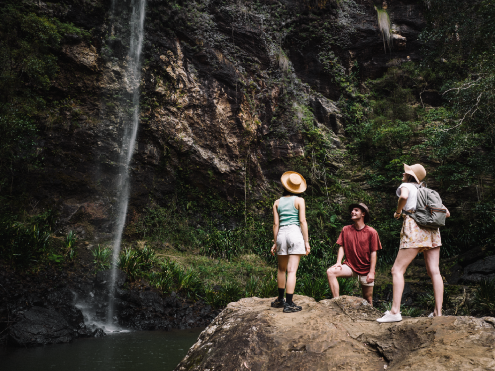
9. Mount Glorious Greenes Falls Circuit
Mount Glorious, part of the D’Aguilar Range, is a haven for nature lovers. The Greenes Falls Circuit is a popular trail that takes you through lush rainforest and past the beautiful Greenes Falls. The trail is well marked and offers a tranquil experience, with the sounds of birdsong and the rustle of leaves underfoot.
The walk to the falls is relatively easy, making it a great option for families or those looking for a less strenuous hike. Once you reach the falls, you can take a moment to enjoy the view before continuing on the circuit. The trail also offers several lookout points with stunning views of the surrounding area.
For those looking for a longer hike, the Maiala to Westridge Outlook track offers a more challenging experience and panoramic views of the Samford Valley.
- Difficulty Rating: Easy to Moderate
- Start Location: Maiala day-use area
- End Location: Maiala day-use area
- Route Distance: Approximately 2.5 km
- Time to Complete: 1-2 hours
- Facilities: Toilets, picnic areas, and parking available at Maiala day-use area
- Distance and Travel Time from CBD: Approximately 30 km, 45 minutes by car
- Google Map Link: https://maps.app.goo.gl/866jTJmkKtZVmiic9
10. Glasshouse Mountains, Mount Ngungun
The Glasshouse Mountains, located in the Sunshine Coast hinterland, are a group of thirteen hills that rise abruptly from the coastal plain. One of the most popular hikes in the area is the Mount Ngungun Summit Track.

This moderately easy walk takes you to the top of Mount Ngungun, offering fabulous views of the other mountains and the surrounding landscape. The trail is well marked and includes some steep sections and a few rocky scrambles.
Once at the top, you’ll be rewarded with panoramic views of the other Glasshouse Mountains and the Sunshine Coast. The trail is suitable for most fitness levels, but do take care as the path can be slippery after rain.
- Difficulty Rating: Moderate
- Start Location: Mount Ngungun car park
- End Location: Mount Ngungun car park
- Route Distance: Approximately 2.8 km
- Time to Complete: 2 hours
- Facilities: Toilets and parking available at the Mount Ngungun car park
- Distance and Travel Time from CBD: Approximately 70 km, 1 hour by car
- Google Map Link: https://maps.app.goo.gl/S7hQv2Q1ySbpPPvX6
11. Mount Edwards
Mount Edwards, located in the Moogerah Peaks National Park, offers hikers a rewarding climb with stunning views of Lake Moogerah and the Scenic Rim. The trail to the summit is well-defined, with some steep and challenging sections that will test your fitness.

As you ascend, the landscape unfolds around you, offering glimpses of the lake below and the surrounding peaks. The summit provides a perfect spot to rest and take in the expansive views before making the descent.
This hike is ideal for those looking for a moderately challenging day out in nature, with the added bonus of a refreshing swim in Lake Moogerah at the end of your journey.
- Difficulty Rating: Moderate
- Start Location: Lake Moogerah
- End Location: Lake Moogerah
- Route Distance: Approximately 6 km
- Time to Complete: 3-4 hours
- Facilities: Toilets and parking available at Lake Moogerah
- Distance and Travel Time from CBD: Approximately 100 km, 1.5 hours by car
- Google Map Link: https://maps.app.goo.gl/SFsQWH2BzHwvVEmn9
Frequently Asked Questions
What are some of the best hikes for panoramic views in Brisbane?
Mount Ngungun in the Glasshouse Mountains offers some of the best panoramic views in Brisbane. Other notable hikes for views include the Twin Falls Circuit in Springbrook National Park and the summit of Mount Barney.
What is the most challenging hike near Brisbane?
Mount Barney is considered one of the most challenging hikes near Brisbane due to its steep, rocky paths and the need for good navigation skills.
Are there any family-friendly hikes in Brisbane?
Yes, there are several family-friendly hikes in Brisbane. The Morans Falls Track in Lamington National Park and the Wellington Point to King Island Walk are both suitable for families.
How far are these hikes from Brisbane’s CBD?
The distance from Brisbane’s CBD to these hikes varies. For example, Springbrook National Park is approximately 100 km away, Mount Barney is about 130 km away, and Mount Edwards is around 100 km away.
What should I bring for a day hike in Brisbane?
For a day hike in Brisbane, it’s recommended to bring plenty of water, sun protection, a map, and depending on the difficulty of the hike, a personal locator beacon (PLB) might be recommended. For more challenging hikes like Mount Barney, it’s also important to bring adequate supplies and preferably a hiking companion.
Comments
The opinions and views expressed in the comments section are solely those of the individual users and do not represent or reflect the opinions, views, or positions of HumbleTrail. HumbleTrail does not endorse, support, or verify the accuracy of any user-generated content.
By posting a comment you agree to receive related emails from HumbleTrail in accordance with our Terms and Privacy Policy. You can unsubscribe at any time.