

Editor’s note: This guide shares coastal walking ideas around Sydney.
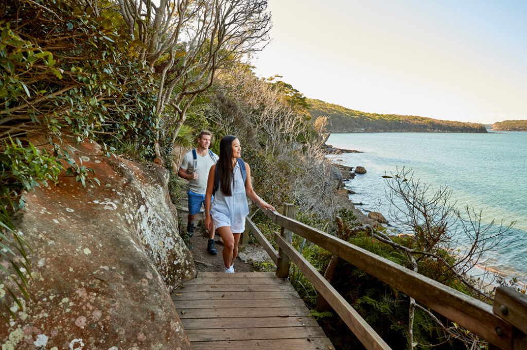
Wondering where to go for a great coastal walk in Sydney? Whether you’re after a walk around Sydney Harbour, along Sydney’s rugged coastline or a leisurely amble down the foreshore, Sydney’s coastal walks are second to none.
Best Coastal & Beach Walks Sydney at a Glance
These are our favourites:
- The most iconic coastal walk: Bondi to Coogee Walk
- Best for whale watching: Wattamolla to Eagle Rock-Royal National Park
- A walk with a historic lighthouse: Palm Beach Lighthouse Walk
- A lesser-known gem: Cronulla Beach Walk
- Scenic route with remote beaches: Manly to Spit Bridge Walk
1. Hermitage Foreshore Track
An easy and leisurely stroll with plenty of picnic areas, the Hermitage Foreshore Track is a gem in Sydney’s eastern suburbs. Starting at Nielsen Park the track offers great views of Shark Island, the Sydney Harbour Bridge and the beautiful Strickland House grounds.
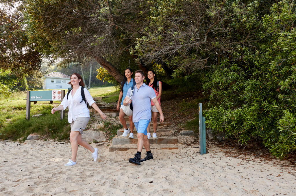
Image for illustration purpose only.
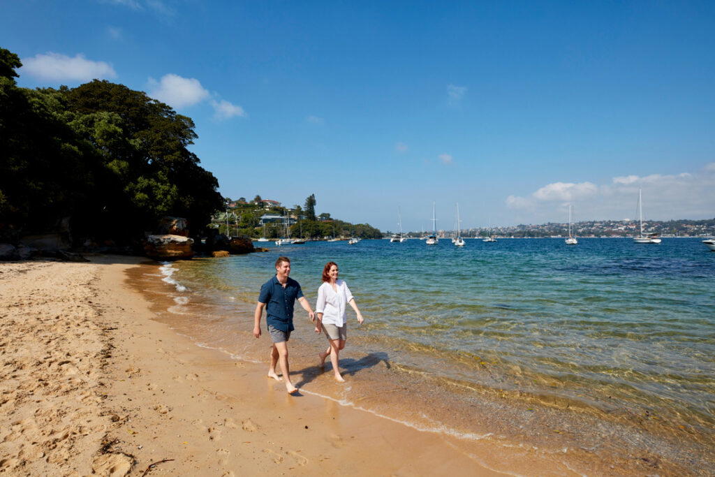
Image for illustration purpose only.
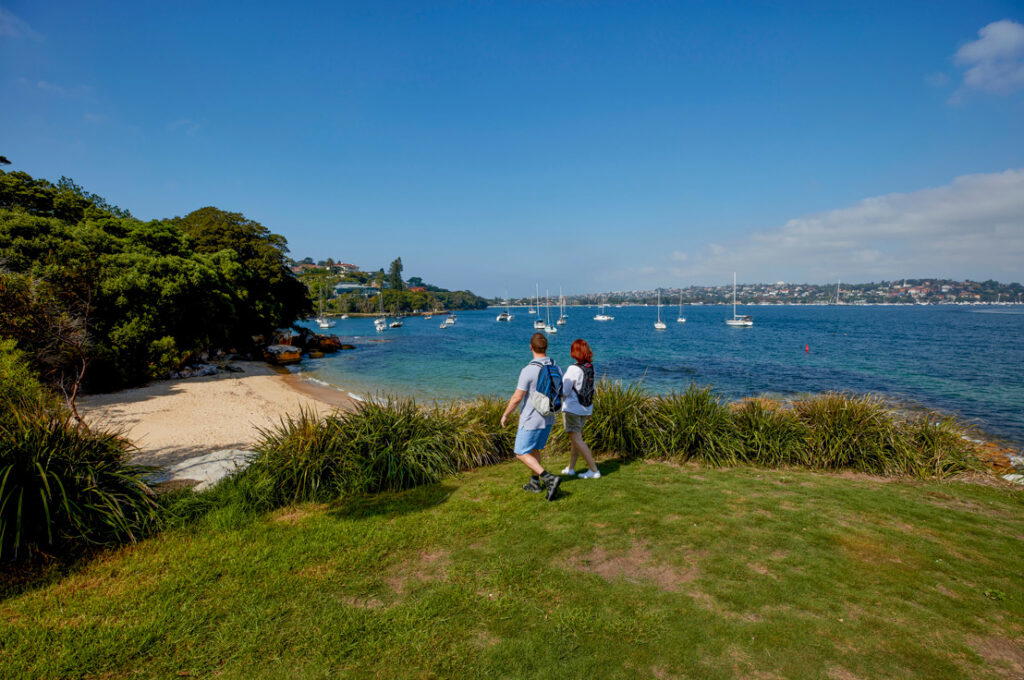
Image for illustration purpose only.
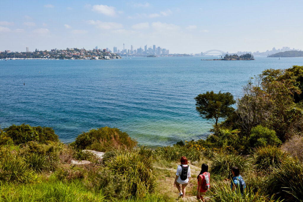
Image for illustration purpose only.
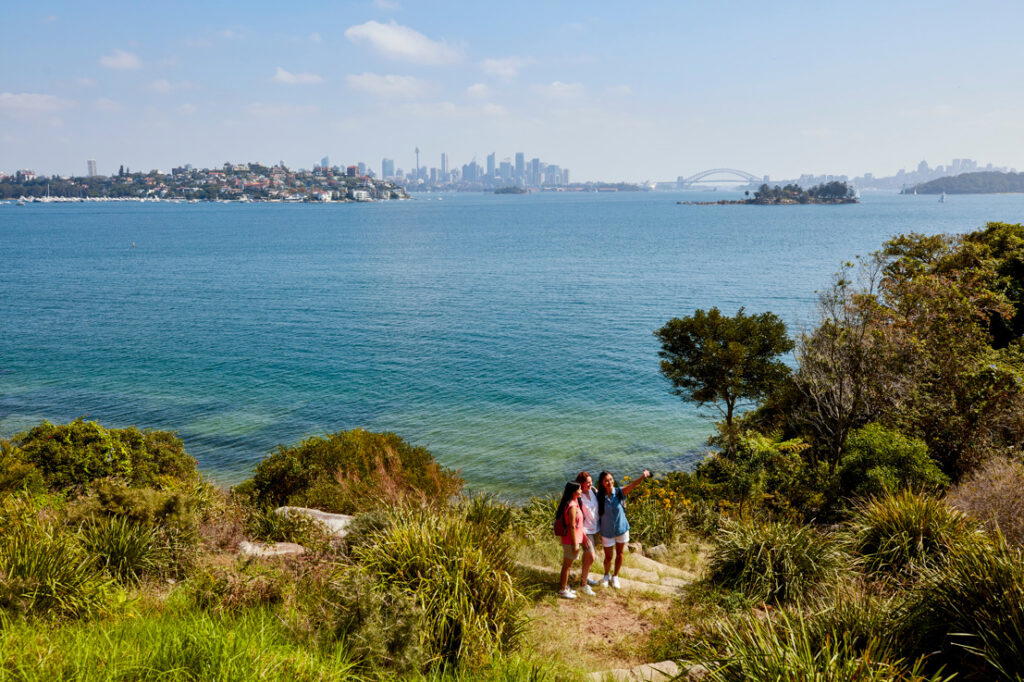
Image for illustration purpose only.
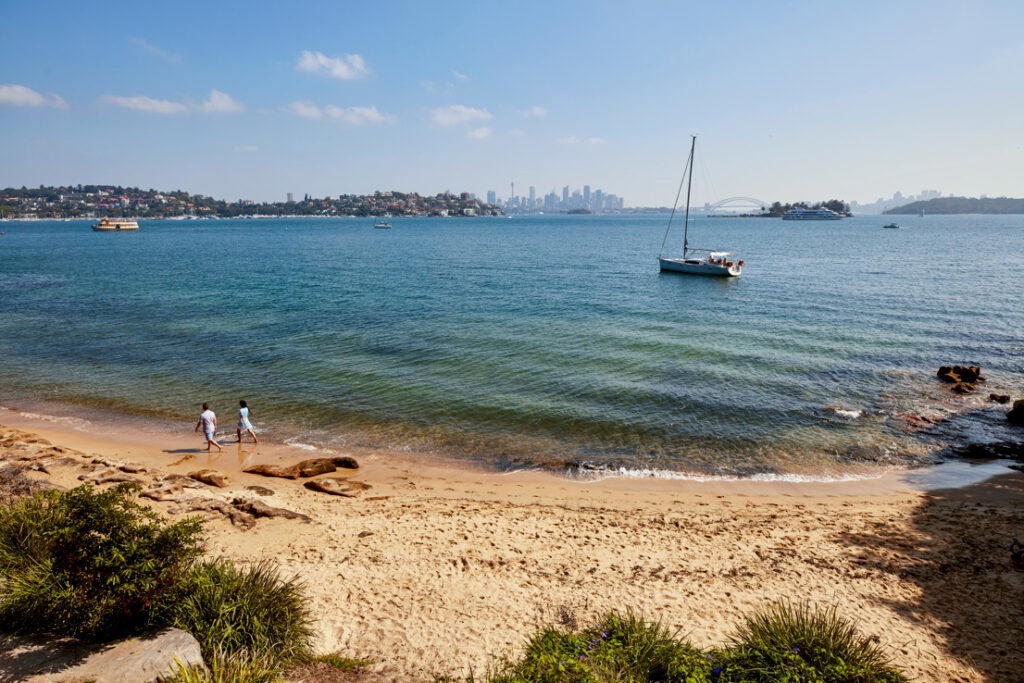
Image for illustration purpose only.
As a tip, The Nielsen is a great option for lunch or coffee and is located in Sydney Harbour National Park, Vaucluse. There are lots of different areas to dine.
- Address: Nielsen Park, Greycliffe Ave, Vaucluse NSW 2030, Australia
- Distance: 1.8km one-way
- Estimated Time: 30min – 1hr
- Best For: Nature lovers, photographers, and families
- Google Map Link: https://maps.app.goo.gl/yhm21UEFt3Fm3nPg9
2. Manly to Spit Bridge Walk
An easy and popular coastal walk, the walk from Manly to Spit Bridge heads up and over sandstone steps, some of which are a little rough, past deserted beaches and clifftops that overlook Sydney Harbour and offer stunning harbour views.
Image for illustration purpose only.
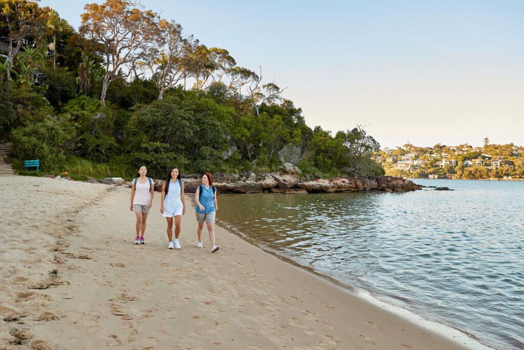
Image for illustration purpose only.
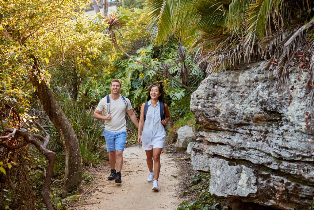
Image for illustration purpose only.
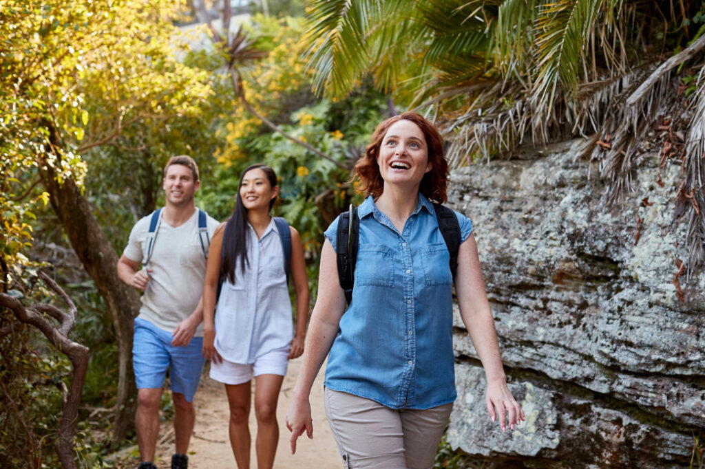
Image for illustration purpose only.
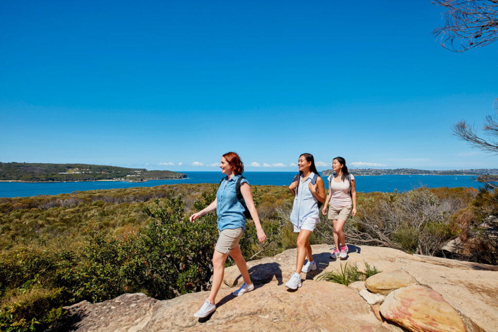
Image for illustration purpose only.
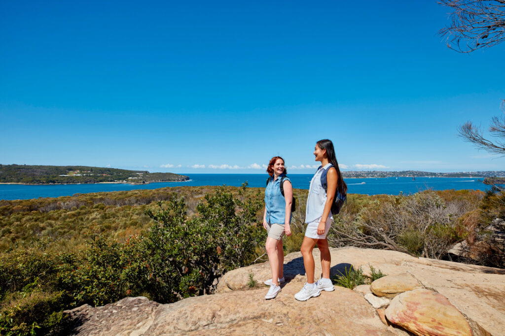
Image for illustration purpose only.
Starting at Manly Wharf, the walk follows the harbour shoreline and headlands. Although there are a couple of steep sections the track is relatively easy and is a favourite with many Sydneysiders and visitors alike.
- Address: Manly Wharf, Manly NSW, Australia to Spit Bridge, NSW, Australia
- Distance: 10km one-way
- Estimated Time: 3-4 hours
- Best For: Nature lovers, families, and fitness enthusiasts
- Google Map Link: https://maps.app.goo.gl/6LXgegbQDbVUqCbaA
3. Wattamolla to Eagle Rock – Royal National Park
The walk from Wattamolla to Eagle Rock is a must-do when visiting Sydney’s Royal National Park. Starting from the picnic area at Wattamolla the clifftop track offers great views of Sydney’s southern coastline and is also a popular whale-watching location during migration season.
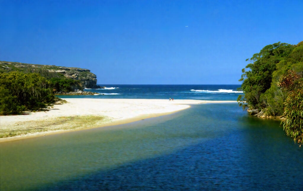
Image for illustration purpose only.
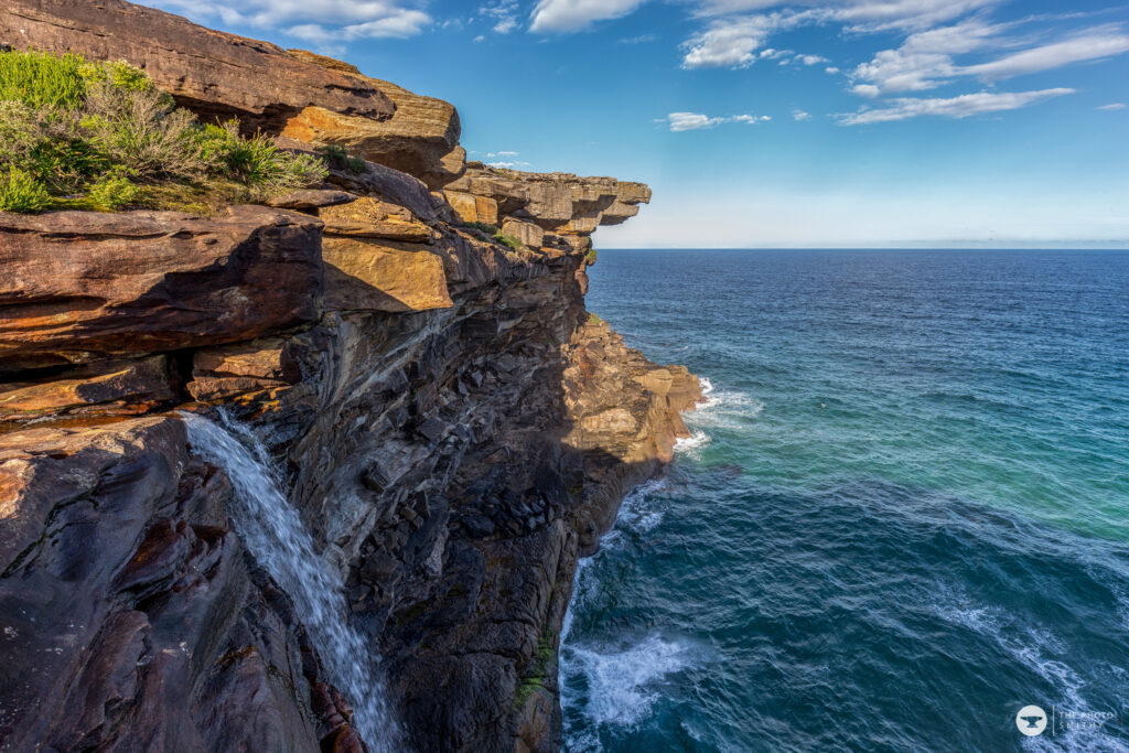
Image for illustration purpose only.
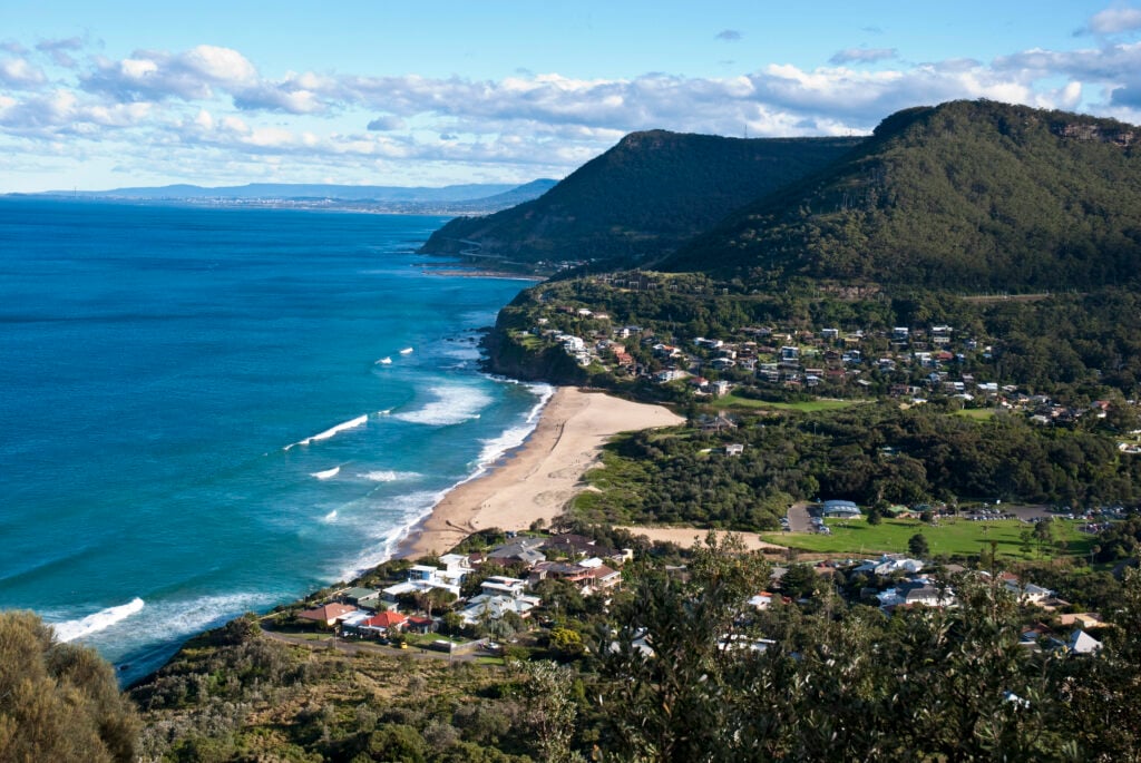
Image for illustration purpose only.
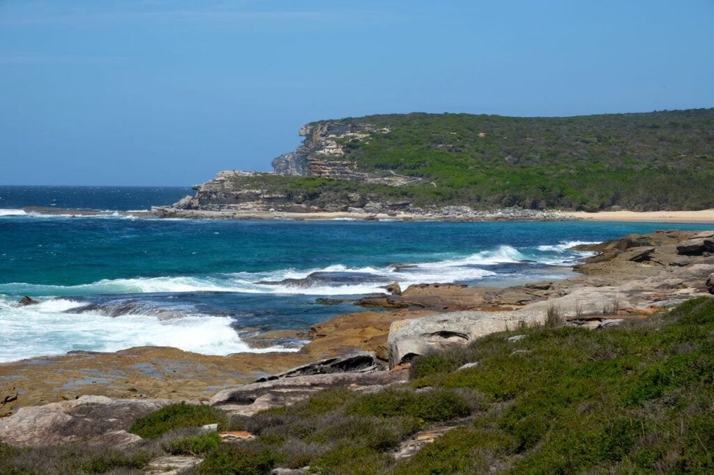
Image for illustration purpose only.
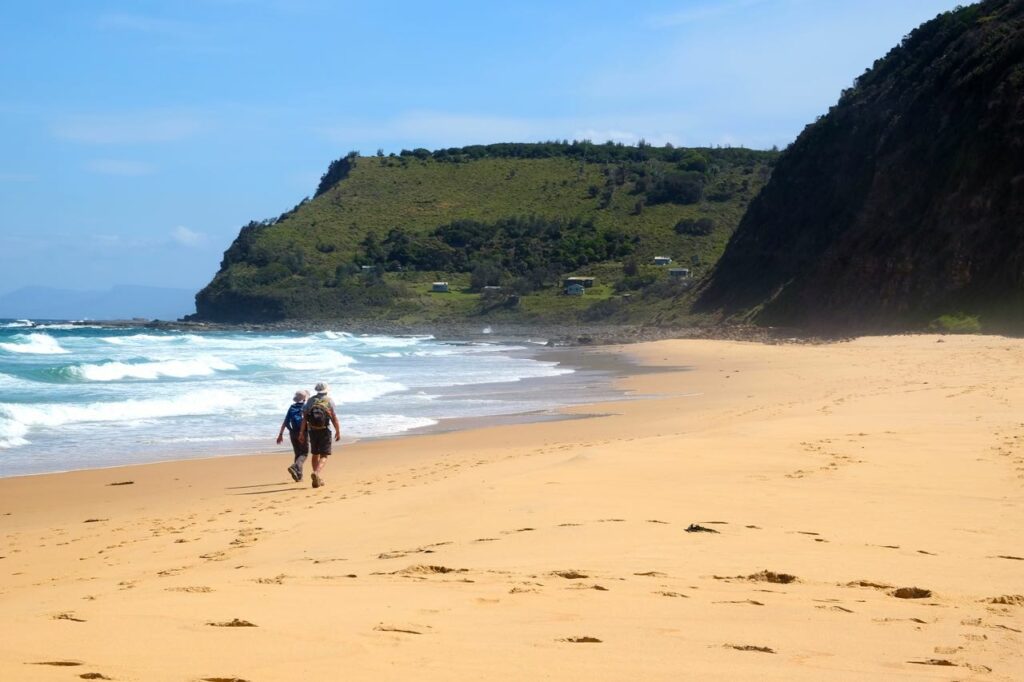
Image for illustration purpose only.
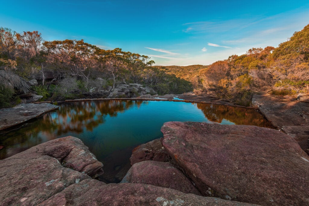
Image for illustration purpose only.
Eagle Rock gets its name from its distinctive eagle’s beak shaped rock. It’s worth remembering that this walk does have some steep sections as well as uneven footing. Keep back from cliff edges and choose it to suit your group’s abilities.
- Address: Wattamolla Rd, Royal National Park NSW 2233, Australia
- Distance: Return walk from Wattamolla to Eagle Rock along The Coast Track
- Estimated Time: 2 hours
- Best For: Nature lovers, families, and whale watchers
- Google Map Link: https://maps.app.goo.gl/BkN4v1yLWgbPSNpS9
4. Rose Bay to Watsons Bay Walk
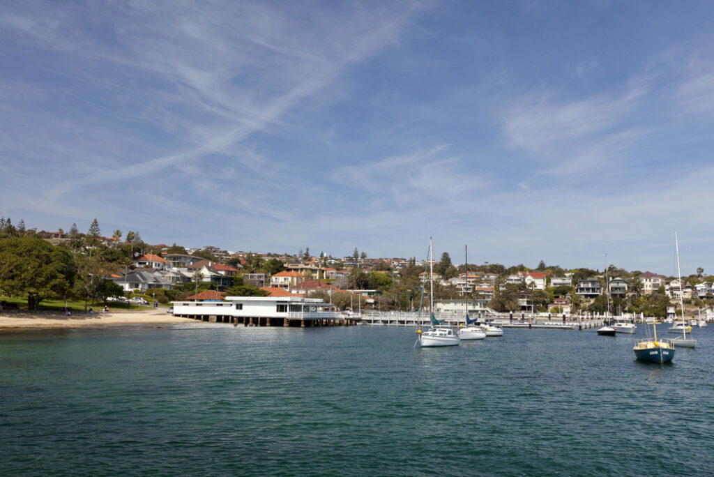
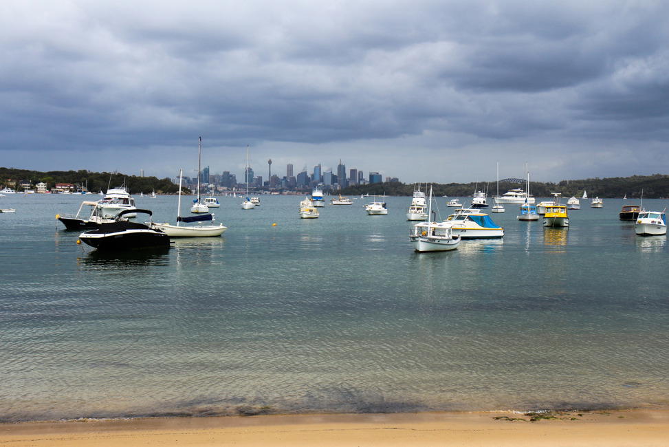
This coastal track starts at Rose Bay Wharf and takes walkers past Hermit Bay and Milk Beach before reaching Parsley Bay and finishing at Watsons Bay.
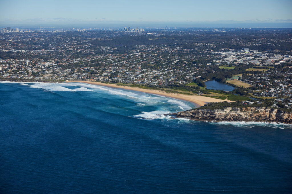
Image for illustration purpose only.
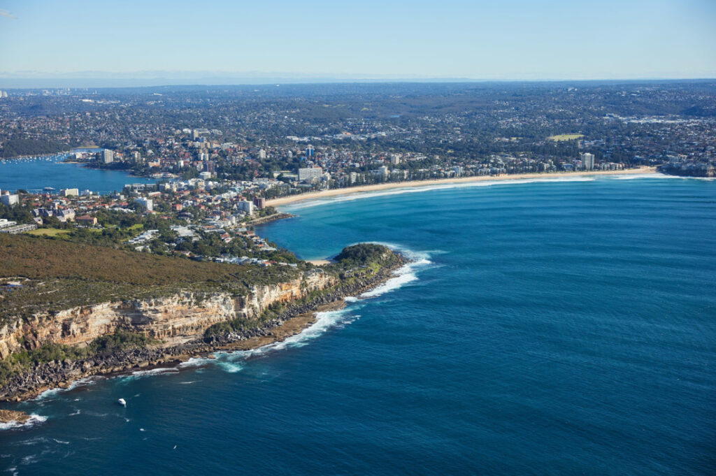
Image for illustration purpose only.
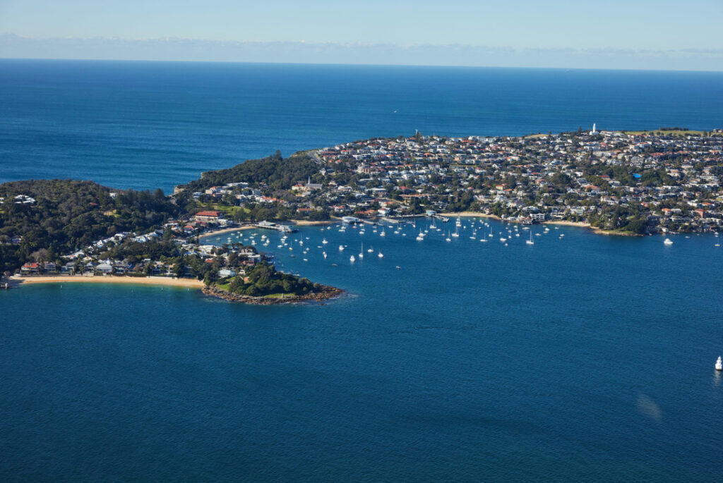
Image for illustration purpose only.
There are cafes and restaurants in Rose Bay and Watsons Bay, which are perfect for pre or post-walk coffee or lunch. If you’re keen for a longer walk you can continue around South Head.
- Address: Rose Bay Wharf, New South Head Rd, Rose Bay NSW 2029, Australia to Watsons Bay, NSW, Australia
- Distance: 8km one-way
- Estimated Time: 2-3 hours
- Best For: Nature lovers, beach lovers, and families
- Google Map Link: https://maps.app.goo.gl/QepTFQ22yt7YqMFL6
- Google Map Link: https://maps.app.goo.gl/6woy6anwkfkvTTKf6
5. Palm Beach Lighthouse Walk
The Palm Beach Lighthouse Walk, also known as the Barrenjoey Lighthouse Walk, is a great option if you’re looking for something short and steep. Starting at the car park at the end of Beach Road the short and steep track takes walkers to Barrenjoey Head and the historic Palm Beach lighthouse.
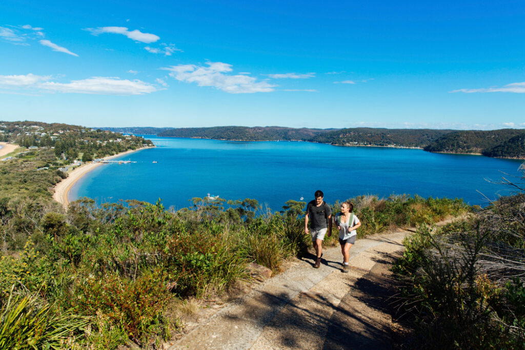
Image for illustration purpose only.
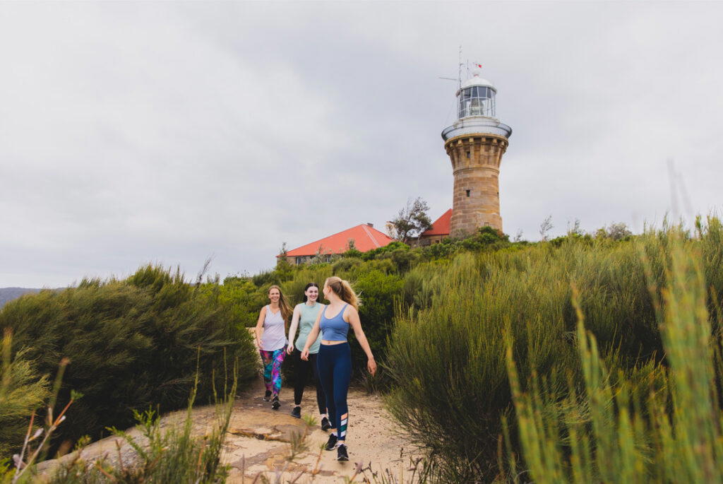
Image for illustration purpose only.
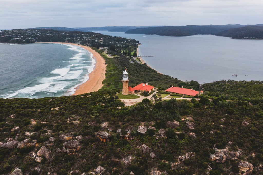
Image for illustration purpose only.
The lighthouse is well worth a visit, having been built way back in 1881.
- Address: Barrenjoey Rd, Palm Beach NSW 2108, Australia
- Distance: 2.3km return
- Estimated Time: 1 hour
- Best For: History enthusiasts, nature lovers, and families
- Google Map Link: https://maps.app.goo.gl/6zzQwt95quonHGFb8
6. Cronulla Beach Walk
An easy, flat and popular track in Sydney, the Cronulla Beach Walk starts at Wanda Beach and finishes at Bass and Flinders Point.
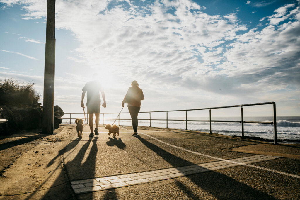
Image for illustration purpose only.
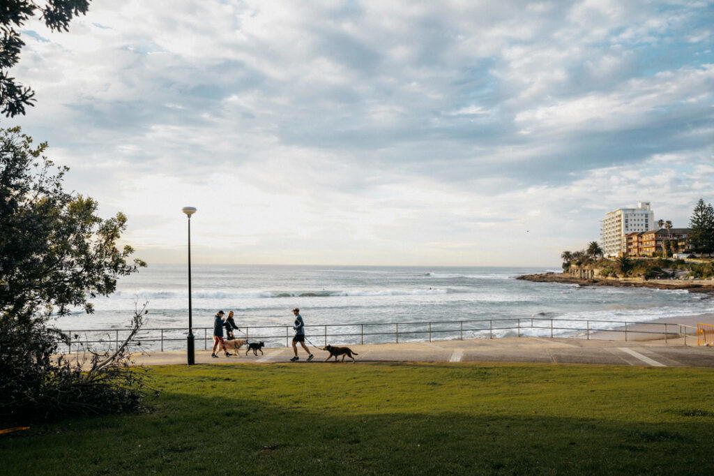
Image for illustration purpose only.
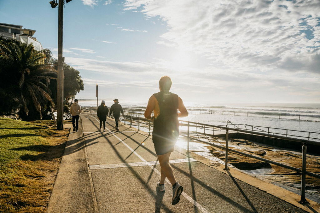
Image for illustration purpose only.
The track takes walkers past Elouera, North Cronulla, Cronulla and Shelly Beach. Along the way you’ll pass numerous small beaches, rock pools and picnic areas.
- Address: Mitchell Rd, Cronulla NSW 2230, Australia to Bass and Flinders Point, Cronulla NSW 2230, Australia
- Distance: 6km one-way
- Estimated Time: 2-3 hours
- Best For: Beach lovers, families, and fitness enthusiasts
- Google Map Link: https://maps.app.goo.gl/M65BZ9gRrGKEeXX18
7. Bondi to Coogee Walk
Arguably Sydney’s most famous coastal walk, the cliff-top Bondi to Coogee walk is a must-do while in Sydney. The easy and beautiful six-kilometre track takes walkers through Sydney’s gorgeous eastern suburbs, past popular beaches, cliff tops, parks, Sydney’s world-famous Iceberg swimming pools, right over the ocean, and more.
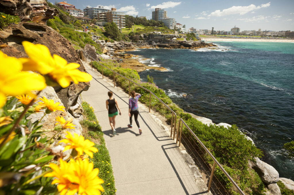
Image for illustration purpose only.

Image for illustration purpose only.
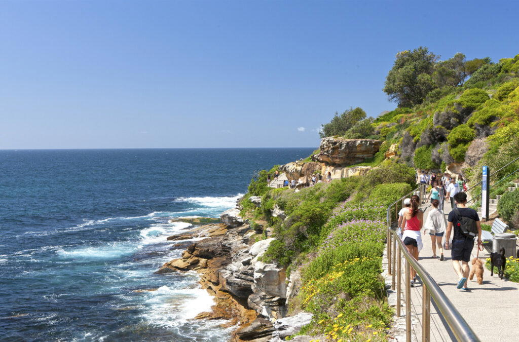
Image for illustration purpose only.
Starting at Bondi Beach the paved and relatively easy walk heads south along the coastline, taking in beaches such as Tamarama, Bronte and Clovelly as well as Gordon’s Bay before finishing at Coogee Beach.
- Address: Bondi Beach, NSW, Australia to Coogee Beach, NSW, Australia
- Distance: 6km one-way
- Estimated Time: 2-3 hours
- Best For: Beach lovers, fitness enthusiasts, and families
- Google Map Link: https://maps.app.goo.gl/PyLqBE3ZkZAtFDMC9
8. Sirius Cove to Balmoral Beach Walk
This beautiful coastal walk follows Sydney Harbour’s northern shore. Walkers will be rewarded with gorgeous harbour views, bushland in Sydney Harbour National Park, cute little beaches for a swim in the harbour when conditions are suitable and cafes and restaurants at Chowder Bay, which is perfect for a bite to eat.
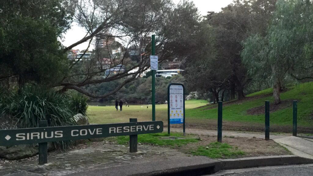
Image for illustration purpose only.
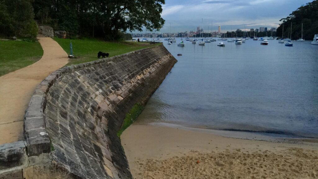
Image for illustration purpose only.
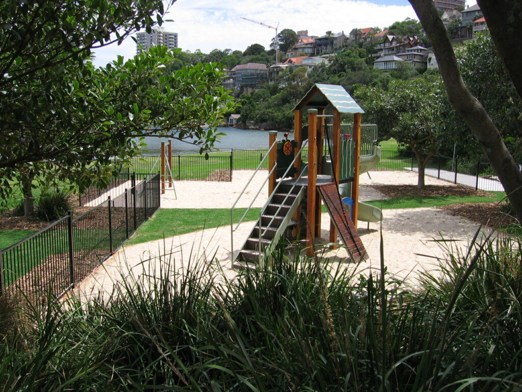
Image for illustration purpose only.
The walk starts at Sirius Cove, joins the Taronga to Balmoral Walk near Taronga Zoo wharf and finishes at Balmoral Beach. Allow roughly 90 minutes, depending on your pace and stops.
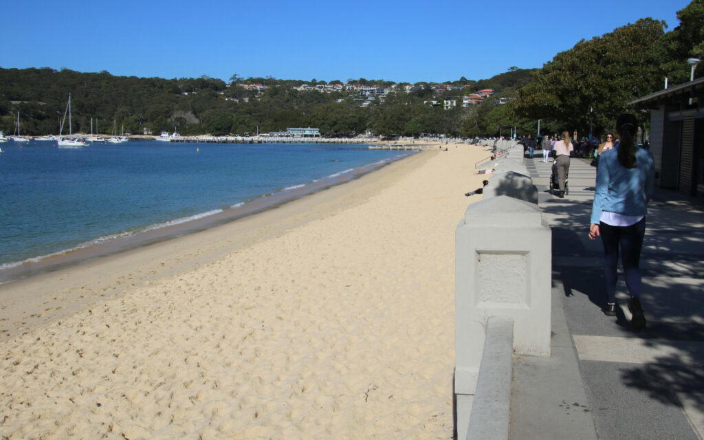
Image for illustration purpose only.
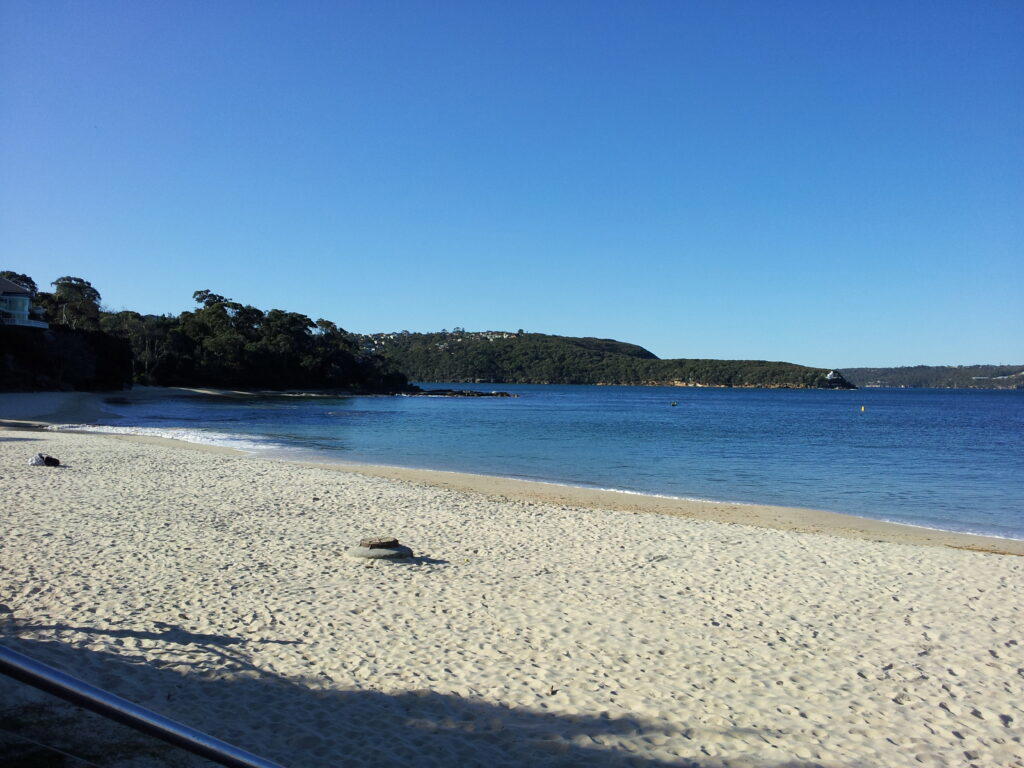
Image for illustration purpose only.
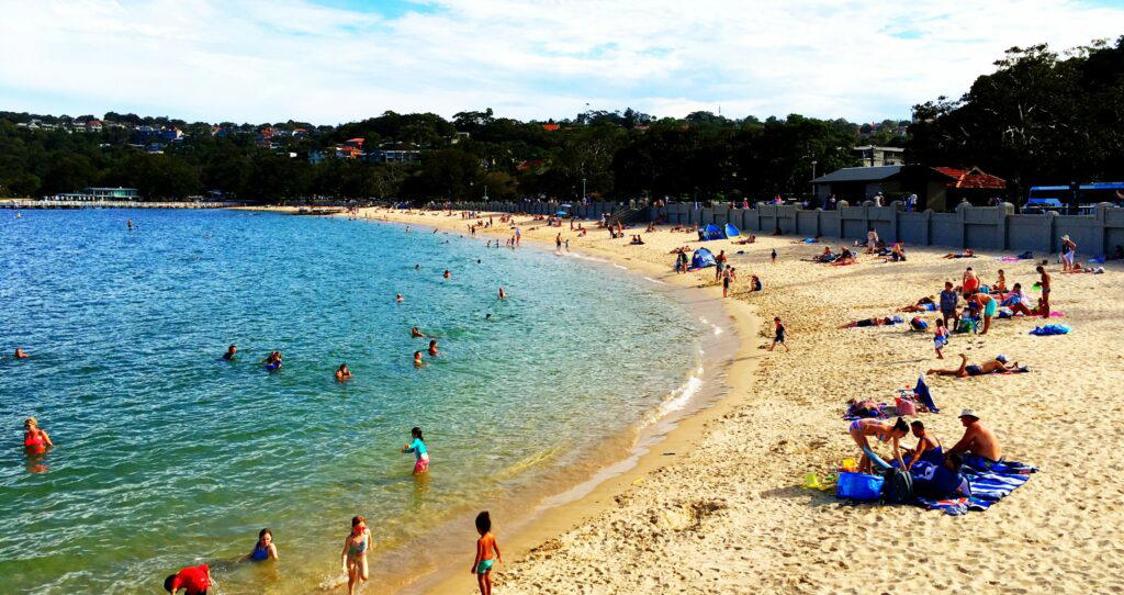
Image for illustration purpose only.
- Address: Sirius Cove, Mosman NSW 2088, Australia to Balmoral Beach via Taronga Zoo wharf
- Distance: 6km one-way
- Estimated Time: 90 minutes
- Best For: Nature lovers, fitness enthusiasts, and families
- Google Map Link: https://maps.app.goo.gl/zB6j18RBkDBzb5Kd9
- Google Map Link: https://maps.app.goo.gl/SMbpoMqudamjeJaX7
9. Jibbon Beach Loop – Royal National Park
A great day out in the Royal National Park, the Jibbon Beach Loop starts at Bundeena Ferry Wharf and goes through Bundeena to Jibbon Beach before continuing around the headland.
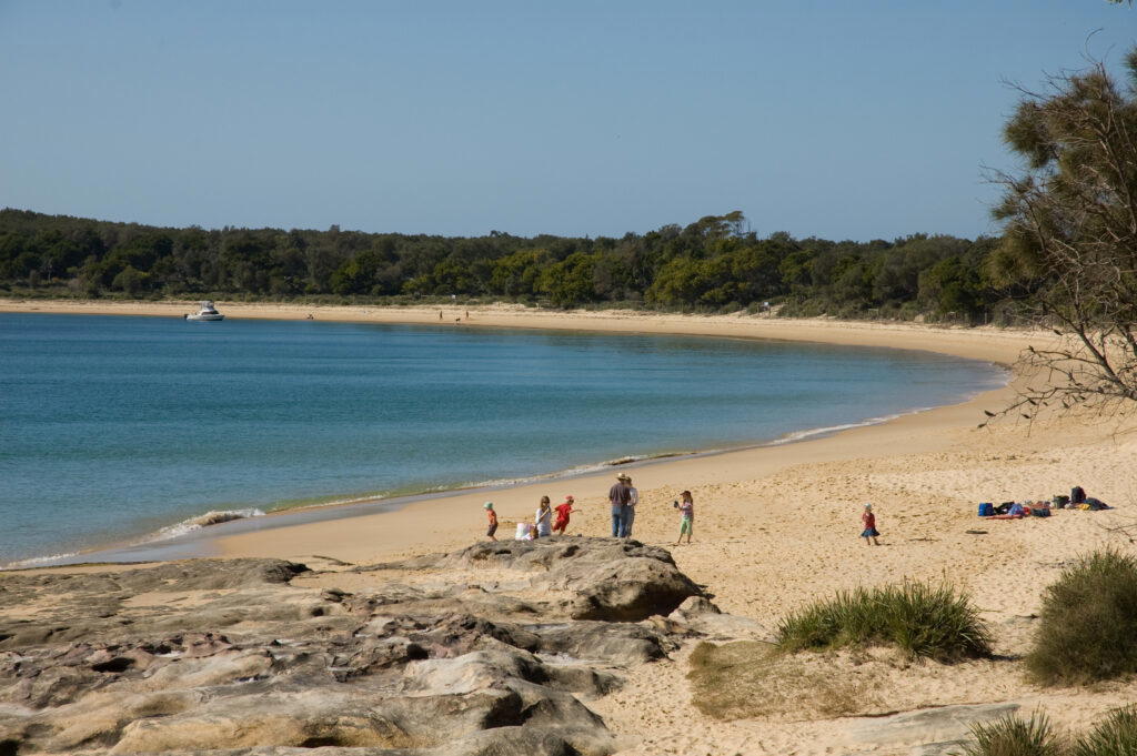
The walk offers great views of the coastline and gorgeous Jibbon Beach.
- Address: Loftus St, Bundeena NSW 2230, Australia
- Distance: 5km loop
- Estimated Time: 2-3 hours
- Best For: Beach lovers, families, and fitness enthusiasts
- Google Map Link: https://maps.app.goo.gl/9hpZn4MoqTdHRSag6
10. Wattamolla to Little Marley Beach – Royal National Park
Another great clifftop walk, the Wattamolla to Little Marley Beach walk starts at Wattamolla picnic area and follows the clifftops before dropping down to beautiful and quiet Little Marley Beach.
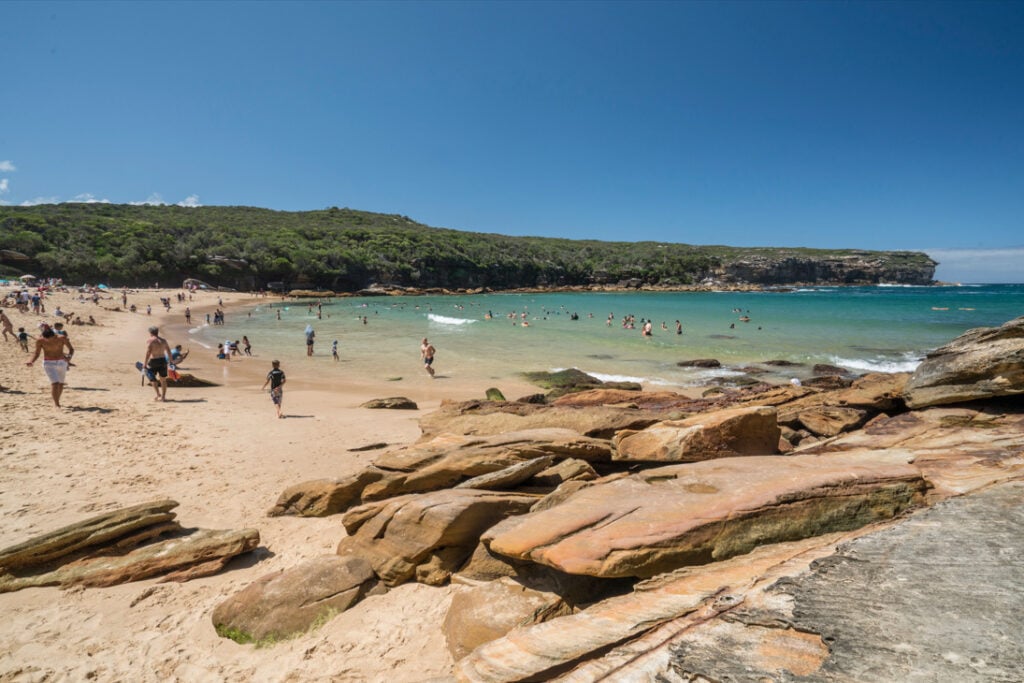
Like many of Royal National Park’s bushwalks this walk has a couple of steep and challenging sections.
- Address: Wattamolla Rd, Royal National Park NSW 2233, Australia
- Distance: 8km return
- Estimated Time: 3-4 hours
- Best For: Beach lovers, families, and fitness enthusiasts
- Google Map Link: https://maps.app.goo.gl/1E2GcvF9WRR1d3mu7
11. Cape Baily Lighthouse – Botany Bay
An easy-going and beautiful walk for families, the Cape Baily Lighthouse walk starts at Cape Solander car park and heads out along the clifftops to the Cape Baily Lighthouse. The full 8 km return route continues past the lighthouse to Potter Point; turning back at the lighthouse makes for a shorter outing.
The lighthouse opened in 1950 and is still in operation today. Don’t forget your camera for this walk as the views are superb.
- Address: Cape Solander Dr, Kurnell NSW 2231, Australia
- Distance: 8km return from Cape Solander to Potter Point via Cape Baily Lighthouse
- Estimated Time: 3-4 hours
- Best For: History enthusiasts, nature lovers, and families
- Google Map Link: https://maps.app.goo.gl/qYo1jbdPFhSy5Fc57
12. Malabar Headland Walk
The Malabar Headland Walk starts at Maroubra Beach, follows the shoreline before heading through Malabar Headland National Park with its variety of native plants and animals and finishes at Malabar Beach.
Offering ocean views from the clifftops and some steep sections this coastal walk is not to be missed. The coastal Boora Point track is rated Grade 4. Check NPWS alerts before setting out: the coastal track closes when the rifle range is operating.
- Address: Arthur Byrne Reserve, Bernie Kelly Dr, Maroubra NSW 2035, Australia
- Distance: 3.7km one-way
- Estimated Time: 1-2 hours
- Best For: Nature lovers, families, and fitness enthusiasts
- Google Map Link: https://maps.app.goo.gl/kMirziRoE5g7hZ7K9
Frequently Asked Questions
How do I get to these coastal walks?
Most of the coastal walks can be accessed by public transport. We suggest checking current timetables with Transport for NSW before setting out. You can take a bus from Sydney’s CBD to Bondi Beach. For Jibbon, catch a train as far as Cronulla followed by a short ferry ride to Bundeena. Wattamolla needs separate onward transport; the ferry does not take you to its trailhead.
What should I bring on these walks?
We suggest taking along a hat and some sunscreen, even in winter, as UV levels in Australia can still be high, a bottle of water, comfortable walking shoes, a camera and any food/drinks that you may require for the walk. Do take home all of your rubbish and leave beaches and National Parks as clean as you found them. Plan ahead, which means downloading a map of the area you’ll be walking through or taking some printed maps with you on your walk. Make sure you’ve got a look at the track and know what you’re getting yourself into. Check out the weather forecast for the day and leave plenty of time to complete the walk before dark.
Are these walks suitable for children?
From easy-going bushwalks for the whole family to challenging walks that will test the most seasoned walkers, Sydney’s coastal walks will appeal to walkers of all fitness levels. Choose a walk that suits your children: Wattamolla to Eagle Rock has steep sections and uneven footing.
Can I swim at the beaches along these walks?
There are opportunities for a dip in the ocean at Sydney’s beautiful beaches. Choose a patrolled beach and swim between the flags, as there are strong rips and currents.
Are these walks free?
Walking is free although vehicle entry fees apply at Royal National Park and the Kurnell area of Kamay Botany Bay National Park, and some of the walks do require you to park in a fee-based car park.
Comments
The opinions and views expressed in the comments section are solely those of the individual users and do not represent or reflect the opinions, views, or positions of HumbleTrail. HumbleTrail does not endorse, support, or verify the accuracy of any user-generated content.
By posting a comment you agree to receive related emails from HumbleTrail in accordance with our Terms and Privacy Policy. You can unsubscribe at any time.